Charaña Municipality
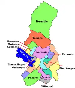
Charaña Municipality is the fifth municipal section of the Pacajes Province in the La Paz Department, Bolivia. Its seat is Charaña.
Charaña Municipality | |
|---|---|
Municipality | |
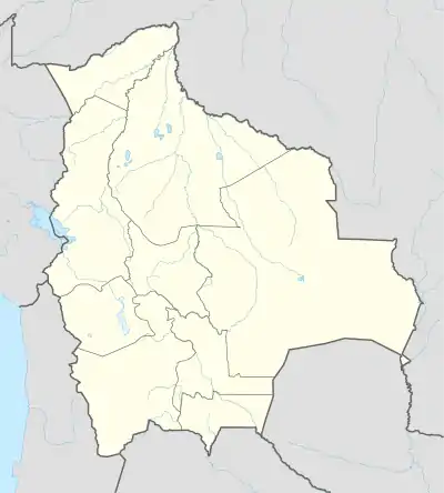
 Charaña Municipality Location of the Charaña Municipality within Bolivia | |
| Coordinates: 17°35′0″S 69°10′0″W | |
| Country | |
| Department | La Paz Department |
| Province | Pacajes Province |
| Seat | Charaña |
| Government | |
| • Mayor | Victor Hugo Apaza Mamani (2007) |
| • President | Eufracio Marca Cruz (2007) |
| Area | |
| • Total | 1,110 sq mi (2,876 km2) |
| Elevation | 13,500 ft (4,100 m) |
| Population (2001) | |
| • Total | 2,766 |
Climate
The climate in Charaña is characterized by a sub-freezing mean annual temperature, with large annual temperature ranges, and moderately low precipitation. The Köppen Climate System classifies this as a Tundra climate, abbreviated as ET.[5]
| Climate data for Charaña_Municipality | |||||||||||||
|---|---|---|---|---|---|---|---|---|---|---|---|---|---|
| Month | Jan | Feb | Mar | Apr | May | Jun | Jul | Aug | Sep | Oct | Nov | Dec | Year |
| Average high °C (°F) | 17 (63) |
17 (62) |
17 (62) |
18 (64) |
17 (62) |
14 (58) |
14 (58) |
16 (60) |
16 (61) |
17 (63) |
19 (66) |
18 (64) |
17 (62) |
| Daily mean °C (°F) | 7 (45) |
7 (45) |
7 (45) |
5 (41) |
3 (37) |
0 (32) |
1 (34) |
2 (36) |
4 (39) |
5 (41) |
6 (43) |
7 (45) |
5 (40) |
| Average low °C (°F) | −2 (28) |
−1 (30) |
−3 (27) |
−6 (21) |
−9 (15) |
−13 (8) |
−13 (9) |
−12 (11) |
−8 (17) |
−7 (20) |
−6 (22) |
−3 (27) |
−7 (20) |
| Average precipitation mm (inches) | 48 (1.9) |
53 (2.1) |
38 (1.5) |
5.1 (0.2) |
0 (0) |
2.5 (0.1) |
5.1 (0.2) |
2.5 (0.1) |
2.5 (0.1) |
15 (0.6) |
10 (0.4) |
41 (1.6) |
220 (8.7) |
| Source: Weatherbase [6] | |||||||||||||
References
- IGM map 1:50,000 Berenguela 5742-II
- IGM map 1:50,000 Canasita 5740-I
- IGM map 1:50,000 Nevados Payachata Hoja 5739-I
- IGM map 1:50,000 Río Blanco 5740-II
- Climate Summary for Charaña Municipality
- "Weatherbase.com". Weatherbase. 2013. Retrieved on August 27, 2013.
This article is issued from Wikipedia. The text is licensed under Creative Commons - Attribution - Sharealike. Additional terms may apply for the media files.
