Chiyo Bhanjyang
Chiyo Bhanjyang (Nepali: चियो भञ्ज्याङ) (also known as Chiwa Bhanjyang or Chiya Bhanjyang) is an international mountain pass located at Nepal-Sikkim (India) border. It is located at elevation of 3,139 metres (10,299 ft) above the sea level. The Mid-Hills Highway (Pushpalal Highway) starts from here and runs across the mid-hills in Nepal. Across the border, in Sikkim "Uttarey-Chiwa Bhanjyang road" starts and connects Gangtok at 170 km of distance.[1][2][3]
| Chiyo Bhanjyang | |
|---|---|
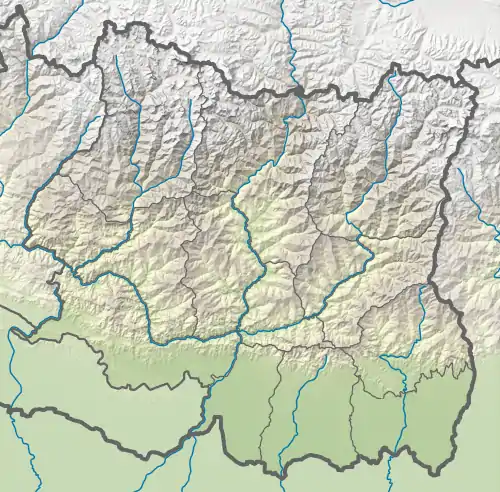 Chiyo Bhanjyang Location in province 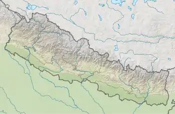 Chiyo Bhanjyang Chiyo Bhanjyang (Nepal) | |
| Highest point | |
| Elevation | 3,139 m (10,299 ft) |
| Coordinates | 27°16′6″N 88°1′50″E |
| Geography | |
| Location | Pathibhara Yangwarak, Panchthar District, Province No. 1, Nepal - West Sikkim district, Sikkim, India |
References
- "Sikkim - Singalila Chiwa Bhanjyang Trek". Adarsh tours, treks and expedition. Retrieved 2 February 2021.
- "Sikkim builds road to Nepal for trade and tourism". The Telegraph. 4 August 2018. Retrieved 2 February 2021.
- "Nepal-India Joint Commission's Third Meeting starts today". Nepali Headlines. Retrieved 2 February 2021.
External links
This article is issued from Wikipedia. The text is licensed under Creative Commons - Attribution - Sharealike. Additional terms may apply for the media files.