Diphu Pass
Diphu Pass is a mountain pass around the area of the disputed tri-point borders of India, China, and Myanmar. Diphu Pass is also a strategic approach to eastern Arunachal Pradesh.[1] It lies on the McMahon Line.[2]
| Diphu Pass | |
|---|---|
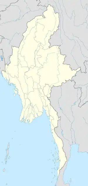 Diphu Pass Location of the Diphu Pass | |
| Elevation | 4,587 m (15,049 ft) |
| Location | China–India–Burma tripoint |
| Range | Himalaya |
| Coordinates | 28°9′0″N 97°20′0″E |
| Diphu Pass | |||||||
|---|---|---|---|---|---|---|---|
| Traditional Chinese | 底富山口 | ||||||
| Simplified Chinese | 底富山口 | ||||||
| |||||||
In October 1960 China and Burma demarcated their border to the Diphu Pass, which is 5 miles south of the watershed of the mountain ranges. However, this caused a diplomatic row with India, which expected the tri-point to be at the watershed.[3][4] The dispute has become part of the ongoing border disagreement between China and India regarding Arunachal Pradesh.
See also
References
- Calvin, James Barnard (2 April 1984). "The China-India Border War (1962)". globalsecurity.org. Marine Corps Command and Staff College. Retrieved 2 February 2017.
this placed Diphu Pass--a strategic approach to eastern Assam--in Chinese territory.
- Tzou, Byron N (1990). China and International Law: The Boundary Disputes. Greenwood Publishing Group. p. 128. ISBN 9780275934620.
the so-called McMahon Line (that is, from Diphu Pass to Izrazi Pass)
- Eekelen, Willem van (6 November 2015). Indian Foreign Policy and the Border Dispute with China: A New Look at Asian Relationships. BRILL. p. 121. ISBN 9789004304314.
- The Geographer, Office of the Geographer (30 November 1964). "Burma - China Boundary" (PDF). International Boundary Study. Bureau of Intelligence and Research. Retrieved 7 November 2019.
Mountain passes of China | |||||||||||||||
|---|---|---|---|---|---|---|---|---|---|---|---|---|---|---|---|
| On the border | |||||||||||||||
| In the interior |
| ||||||||||||||
| |||||||||||||||
This article is issued from Wikipedia. The text is licensed under Creative Commons - Attribution - Sharealike. Additional terms may apply for the media files.