Cho La, Sichuan
Cho La, also transliterated as Tro La, is a mountain pass across the Chola Mountains in Dege County, Garze Prefecture, Sichuan, China. In Mandarin Chinese, it is known as Qu'er Pass (Chinese: 雀儿山口; pinyin: Què'ér Shānkǒu). The pass reaches a height of 4,916 metres (16,129 ft) and may be snow covered year-round. The pass is an important link between the town of Derge and the rest of Sichuan Province. Historically, it was part of a trade route between Tibet and China through the Kingdom of Derge in Kham.[1] The western flank of the pass is drained by the Zhil Chu (Chinese: 色曲; pinyin: Sè Qū) and the eastern flank is drained by the Tro Chu (Chinese: 朝曲; pinyin: Zhāo Qū). Yihun Lhatso, a glacial-fed lake, is located to the east of the pass.[2]

| Cho La | |
|---|---|
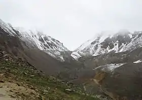 View from the west | |
| Elevation | 4,916 metres (16,129 ft) |
| Traversed by | China National Highway 317 |
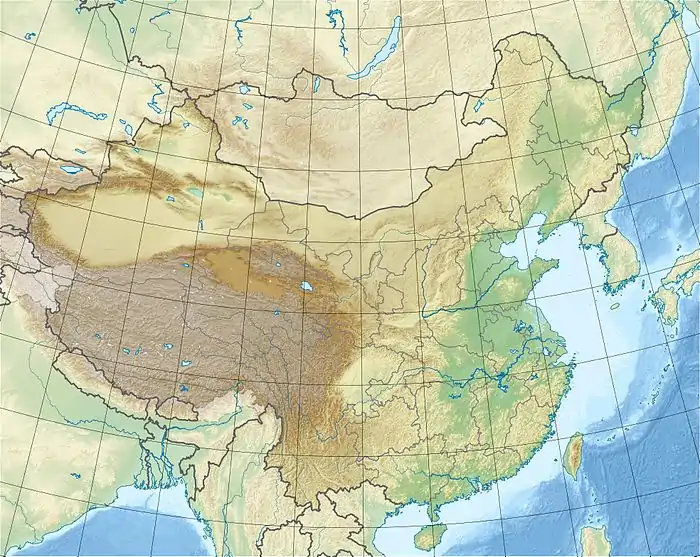
| Location | Sichuan near border with Tibet in China |
| Range | Chola Mountains |
| Coordinates | 31°26′55″N 98°55′26″E |
 | |
A tunnel constructed under the Chola Mountains now bypasses the mountain pass and is the world's highest vehicular tunnel.[3] Construction of the tunnel was completed in 2016.[4]
References
- McCue, Gary (2010). Trekking Tibet: A Traveler's Guide. Seattle, WA: The Mountaineer's Books. ISBN 9781594852664.
- China's Southwest. Lonely Planet. 2007. ISBN 9781741041859.
- Zhang, Xiang (June 1, 2011). "World's highest highway tunnel to make "hellish" road less deadly". Xinhua News. Retrieved March 17, 2017.
- "Tibet less remote as world's highest road tunnel opens". Xinhua. People. 10 November 2016. Retrieved 21 July 2017.
Mountain passes of China | |||||||||||||||
|---|---|---|---|---|---|---|---|---|---|---|---|---|---|---|---|
| On the border | |||||||||||||||
| In the interior |
| ||||||||||||||
| |||||||||||||||
