Division No. 4, Saskatchewan
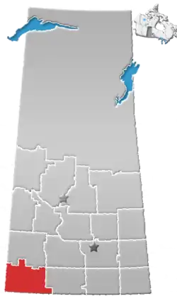
Division No. 4 is one of eighteen census divisions in the province of Saskatchewan, Canada, as defined by Statistics Canada. It is located in the southwest corner of the province, bordering Alberta to the west and Montana, United States to the south. The most populous community in this division is Maple Creek.
Division No. 4 | |
|---|---|
| Country | |
| Province | |
| Area | |
| • Total | 21,366.27 km2 (8,249.56 sq mi) |
| As of 2016 | |
| Population (2016) | |
| • Total | 10,854 |
| • Density | 0.51/km2 (1.3/sq mi) |
Demographics
In the 2016 Census, Division 4 had a population of 10,854 living in 4,181 of its 5,262 total dwellings, a -0.2% decrease from its 2011 population of 10,879. With a land area of 21,366.27 km2 it had a population density of 0.5 people per square kilometre in 2016.[1]
Census subdivisions
The following census subdivisions (municipalities or municipal equivalents) are located within Saskatchewan's Division No. 4.
Towns
Rural municipalities
Other communities
Special service areas
Organized hamlets
Hamlets
Unincorporated communities
|
|
References
- Division No. 4, Saskatchewan Statistics Canada
Places adjacent to Division No. 4, Saskatchewan | ||||||||||
|---|---|---|---|---|---|---|---|---|---|---|
| ||||||||||
| Subdivisions | |
|---|---|
| Communities | |
| Cities | |
| Census divisions | |
| Topics |
|
| |