Gaspar Strait
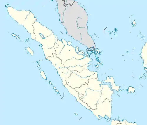
The Gaspar Strait is a strait separating the Indonesian islands Belitung and Bangka and connecting the Java Sea to the South China Sea.
| Gaspar Strait | |
|---|---|
 Gaspar Strait | |
| Coordinates | 2°40′S 107°15′E |
| Type | strait |
| Native name | Indonesian: Selat Gaspar |
| Basin countries | Indonesia |
| References | Selat Gaspar: Indonesia National Geospatial-Intelligence Agency, Bethesda, MD, USA |
History
These straits, formed between the large islands Banca and Billiton, are generally called Gaspar Straits, after the Spanish captain from Manila, who passed through them in 1724; but Captain Hurle, returning from China in the English ship Macclesfield, had previously passed through them, in March 1702. Pulo Leat, or Middle Island, separates these straits into two principal branches; that to the westward, between it and the S.E. part of Banca, is often called Macclesfield Strait; and the eastern branch, situated between Middle Island, and Long Island, near Billiton, is generally called Clements' Strait, after Captain Clements, who commanded the fleet from China, that went through this branch in July 1781. Gaspar Island, or Pulo Glassa, 2°24′42″S 107°4′10″E, lies approximately 24 miles north of Middle Island 2°52′0″S 107°4′0″E and approximately 18 miles from Tanjong Brekat 2°34′21″S 106°50′43″E.[1] The largest islands in the strait are Lepar, Pongok and Mendanau.
Wreck discovery
In 1998, fishermen discovered a block of coral encrusted with pieces of ceramic, at the depth of about 16 meters. From a large jar they removed several bowls intact. These divers by chance had just made the greatest underwater archeological discovery ever made in Southeast Asia: a 9th-century Arab dhow, loaded with over 60,000 gold and silver objects, and manufactured ceramics under the Tang Dynasty. The boat and its cargo, dubbed Belitung shipwreck, testified that Tang China was producing mass-produced commercial items that it exported by sea. Arab sailors were clearly traveling along the maritime silk route, trading at a great scale and over long distances. The port of departure and the destination of the dhow are unknown. Most scholars believe dhow was heading to the Middle East, probably from Guangzhou (Canton), the largest port on the Silk Road. Many Arabs and Persians lived in Guangzhou in the 9th century. Among the tens of thousands of bowls found in the wreck, one bore this inscription: The sixteenth day of the seventh month of the second year of the reign of Baoli, or 826 apr. The mass-produced nature of the cargo and the geographical diversity of its production suggest that it was an export item made to order.
Notes
- Horsburgh, James (1809–1811). Directions for Sailing to and from the East Indies [...] 2 vols. London. pp. vol. ii, 119 and 121.