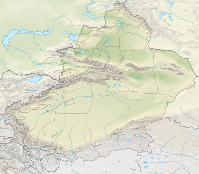
Habahe County
Habahe County (Chinese: 哈巴河县) as the official romanized name, also transliterated from Uyghur as Kaba County (Uighur: قابا ناھىيىسى; Chinese: 哈巴县), is a county situated in the far north of the Xinjiang Uyghur Autonomous Region and is under the administration of the Altay Prefecture. It has an area of 8,179 km2 (3,158 sq mi) with a population of 80,000. The Postcode is 836700.
Habahe (Kaba) County
哈巴河县 · قابا ناھىيىسى Khabakhe | |
|---|---|
.png.webp) Location of Habahe County (red) within Altay Prefecture (yellow) and Xinjiang | |
 Habahe Location of the seat in Xinjiang | |
| Coordinates (Habahe County government): 48°03′39″N 86°25′07″E | |
| Country | People's Republic of China |
| Autonomous region | Xinjiang |
| Prefecture | Altay |
| Time zone | UTC+8 (China Standard) |
| Website | www |
| Habahe County | |||||||||||
|---|---|---|---|---|---|---|---|---|---|---|---|
| Chinese name | |||||||||||
| Simplified Chinese | 哈巴河县 | ||||||||||
| Traditional Chinese | 哈巴河縣 | ||||||||||
| |||||||||||
| Alternative Chinese name | |||||||||||
| Simplified Chinese | 哈巴县 | ||||||||||
| Traditional Chinese | 哈巴縣 | ||||||||||
| |||||||||||
| Uyghur name | |||||||||||
| Uyghur | قابا ناھىيىسى | ||||||||||
| |||||||||||
| Kazakh name | |||||||||||
| Kazakh | قابا اۋدانى
Kazakh Cyrillic: Қаба ауданы Kazakh Latin alphabet: Qaba aýdany | ||||||||||

A satellite photo of the Irtysh River in the southeastern part of Habahe County and the southwestern part of Burqin County, and a desert south of it
Administrative divisions
Town (镇)
- Makeqi (阿克齐镇)
Township (乡)
- Sartam Township (萨尔塔木乡), Jayilma Township (加依勒玛乡), Kölbay Township (库勒拜乡), Sarbulaq Township (萨尔布拉克乡), Terekti Township (铁热克提乡), Qiba'er Township (齐巴尔乡)
Others
- XPCC No. 185 (兵团185团)
External links
This article is issued from Wikipedia. The text is licensed under Creative Commons - Attribution - Sharealike. Additional terms may apply for the media files.