Jebel Azao
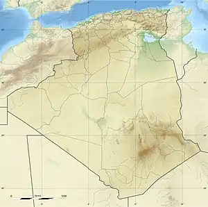
Jebel Azao or Adrar Afao is the highest peak in the Tassili n'Ajjer range in southeastern Algeria, at 2,158 metres (7,080 ft). The range forms the northwest border of the Chad Basin.[1]
| Jebel Azao | |
|---|---|
| Adrar Afao | |
 Jebel Azao | |
| Highest point | |
| Elevation | 2,158 m (7,080 ft) |
| Coordinates | 25°12′12″N 8°07′22″E |
| Geography | |
| Parent range | Tassili n'Ajjer |
Geography
The Jebel Azao is a peak in the Adrar massif of the Tassili N'Ajjer,[2] a sandstone plateau to the northeast of the Hoggar Mountains[3] The mountain forms a ridge on the plateau, roughly parallel to the escarpment.[2] The massif is mainly made of sandstone, which has resulted in the formation of many natural rock arches.[4] Mt. Afao is drained by various wadis, which converge on the Wadi Imirhou. This wadi runs northeast, then turns to the northwest and disappears in the Issaouane Erg sands to the west of Illizi.[2]
References
Citations
Sources
- "Climb or Hike the Majestic Mountains of Algeria". Publiboda. Retrieved 2013-05-10.
- "Geography". Lake Chad Basin Commission. Retrieved 2013-05-10.
- Hughes, Ralph H.; Hughes, Jane S.; Bernacsek, G. M. (1992). Iucn Directory of African Wetlands. IUCN. ISBN 978-2-88032-949-5. Retrieved 2013-05-10.CS1 maint: ref=harv (link)
| Tell Atlas |
|
|---|---|
| Saharan Atlas |
|
| Saharan massifs | |
| Peaks |
|
This article is issued from Wikipedia. The text is licensed under Creative Commons - Attribution - Sharealike. Additional terms may apply for the media files.