Milk River Hills
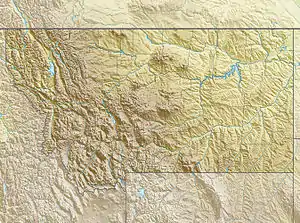
The Milk River Hills, el. 2,644 feet (806 m),[1] is a set of hills east of Fort Peck, Montana in McCone County, Montana.
| Milk River Hills | |
|---|---|
 Milk River Hills | |
| Highest point | |
| Elevation | 2,644 ft (806 m) |
| Coordinates | 48°01′43″N 106°18′07″W |
| Geography | |
| Country | United States |
| State | Montana |
See also
Notes
This article is issued from Wikipedia. The text is licensed under Creative Commons - Attribution - Sharealike. Additional terms may apply for the media files.