N56 road (Ireland)
The N56 road is a national secondary road in the Republic of Ireland that runs from Donegal Town clockwise to Letterkenny. As originally designated, it included the section of the N13 between Stranorlar and Letterkenny, forming a circular route including parts of the N15.
| |
|---|---|
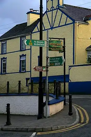 N56 in Ardara | |
| Route information | |
| Length | 157.304 km (97.744 mi) |
| Location | |
| Primary destinations |
|
| Road network | |

The route runs through the Gaeltacht in north-western County Donegal, forming a main coastal route in Ulster.
The road bypasses Donegal Town and Mountcharles at the southern end of the route, and skirts the edge of Letterkenny at the eastern end. Significant upgrade work began construction between 2012 and 2019 to upgrade the bulk of the route between Donegal Town and Dungloe in two separate schemes; from Mountcharles to Inver [1] and from Glenties to Dungloe.[2] It is proposed to bypass Dunkineely in a future stage of work from Inver to Killybegs in the Donegal County Development Plan [3]
References
- https://www.tii.ie/projects/road-schemes/#18
- https://www.tii.ie/projects/road-schemes/#33
- "Draft County Donegal Development Plan 2018 - 2024" (PDF). Donegal County Council. Retrieved 2019-08-31.
| Wikimedia Commons has media related to N56 road (Ireland). |