Nesbit, Mississippi
Nesbit is an unincorporated community in DeSoto County, Mississippi, United States. Nesbit is approximately 7 miles (11 km) south of Horn Lake, approximately 9 miles (14 km) south of Southaven and approximately 5 miles (8.0 km) north of Hernando near U.S. Route 51 and Interstate 55. Nesbit is located on the former Illinois Central Railroad.[2]
Nesbit, Mississippi | |
|---|---|
 Nesbit  Nesbit | |
| Coordinates: 34°52′54″N 90°00′31″W | |
| Country | United States |
| State | Mississippi |
| County | DeSoto |
| Elevation | 279 ft (85 m) |
| Time zone | UTC-6 (Central (CST)) |
| • Summer (DST) | UTC-5 (CDT) |
| ZIP code | 38651 |
| Area code(s) | 662 |
| GNIS feature ID | 690351[1] |
Nesbit was formerly home to an academy, two churches, and a sawmill.[3]
A post office operated under the name Nesbits Station from 1869 to 1881 and began operating under the name Nesbit in 1881.[4]
Climate
| Climate data for Nesbit, MS | |||||||||||||
|---|---|---|---|---|---|---|---|---|---|---|---|---|---|
| Month | Jan | Feb | Mar | Apr | May | Jun | Jul | Aug | Sep | Oct | Nov | Dec | Year |
| Record high °F (°C) | 80 (27) |
80 (27) |
91 (33) |
97 (36) |
98 (37) |
104 (40) |
110 (43) |
112 (44) |
103 (39) |
99 (37) |
87 (31) |
81 (27) |
112 (44) |
| Average high °F (°C) | 48 (9) |
54 (12) |
63 (17) |
72 (22) |
79 (26) |
87 (31) |
90 (32) |
89 (32) |
83 (28) |
74 (23) |
61 (16) |
51 (11) |
71 (22) |
| Average low °F (°C) | 28 (−2) |
32 (0) |
41 (5) |
50 (10) |
59 (15) |
67 (19) |
70 (21) |
68 (20) |
61 (16) |
50 (10) |
39 (4) |
32 (0) |
50 (10) |
| Record low °F (°C) | −6 (−21) |
−5 (−21) |
10 (−12) |
27 (−3) |
36 (2) |
49 (9) |
41 (5) |
49 (9) |
38 (3) |
24 (−4) |
7 (−14) |
−5 (−21) |
−6 (−21) |
| Average precipitation inches (mm) | 4.55 (116) |
4.29 (109) |
5.58 (142) |
6.02 (153) |
5.51 (140) |
4.93 (125) |
3.68 (93) |
3.15 (80) |
3.29 (84) |
3.34 (85) |
5.11 (130) |
5.61 (142) |
55.06 (1,399) |
| Average snowfall inches (cm) | 2.00 (5.1) |
1.20 (3.0) |
0.20 (0.51) |
0 (0) |
0 (0) |
0 (0) |
0 (0) |
0 (0) |
0 (0) |
0 (0) |
0 (0) |
0.10 (0.25) |
3.50 (8.9) |
| Source: http://www.intellicast.com/Local/History.aspx?location=USMS0257 | |||||||||||||
Notable people
- Kenny Brown, blues guitarist (born 1953; grew up in Nesbit)
- Mississippi Joe Callicott, blues singer and guitarist (1900-1969; was born and lived in Nesbit)
- Jerry Lee Lewis, rock and roll singer and pianist (born 1935; has lived in Nesbit since 1972)
- Olivia Holt, teen actress on TV series Kickin' It (born 1997)
References
- U.S. Geological Survey Geographic Names Information System: Nesbit, Mississippi
- Howe, Tony. "Nesbit, Mississippi". Mississippi Rails. Retrieved 23 September 2020.
- Rowland, Dunbar (1907). Mississippi: Comprising Sketches of Counties, Towns, Events, Institutions, and Persons, Arranged in Cyclopedic Form (PDF). 2. Southern Historical Publishing Association. p. 329.
- "DeSoto County". Jim Forte Postal History. Retrieved 23 September 2020.
.svg.png.webp)
Municipalities and communities of DeSoto County, Mississippi, United States | ||
|---|---|---|
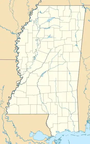
| Cities | 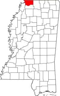 Map of Mississippi highlighting DeSoto County | |
| Town | ||
| CDPs | ||
| Unincorporated communities | ||
| Former community | ||
| ||


This article is issued from Wikipedia. The text is licensed under Creative Commons - Attribution - Sharealike. Additional terms may apply for the media files.