Purulia
Purulia is a city and a municipality in the Indian state of West Bengal. It is the headquarters of the Purulia district. It is located on the north of the Kangsabati River.
Purulia | |
|---|---|
City | |
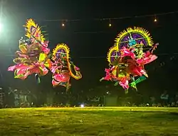
 Chau Dance of Purulia | |
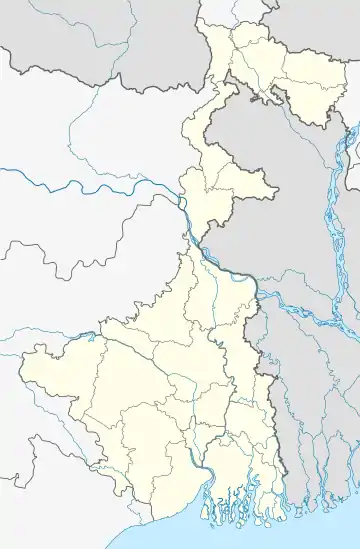
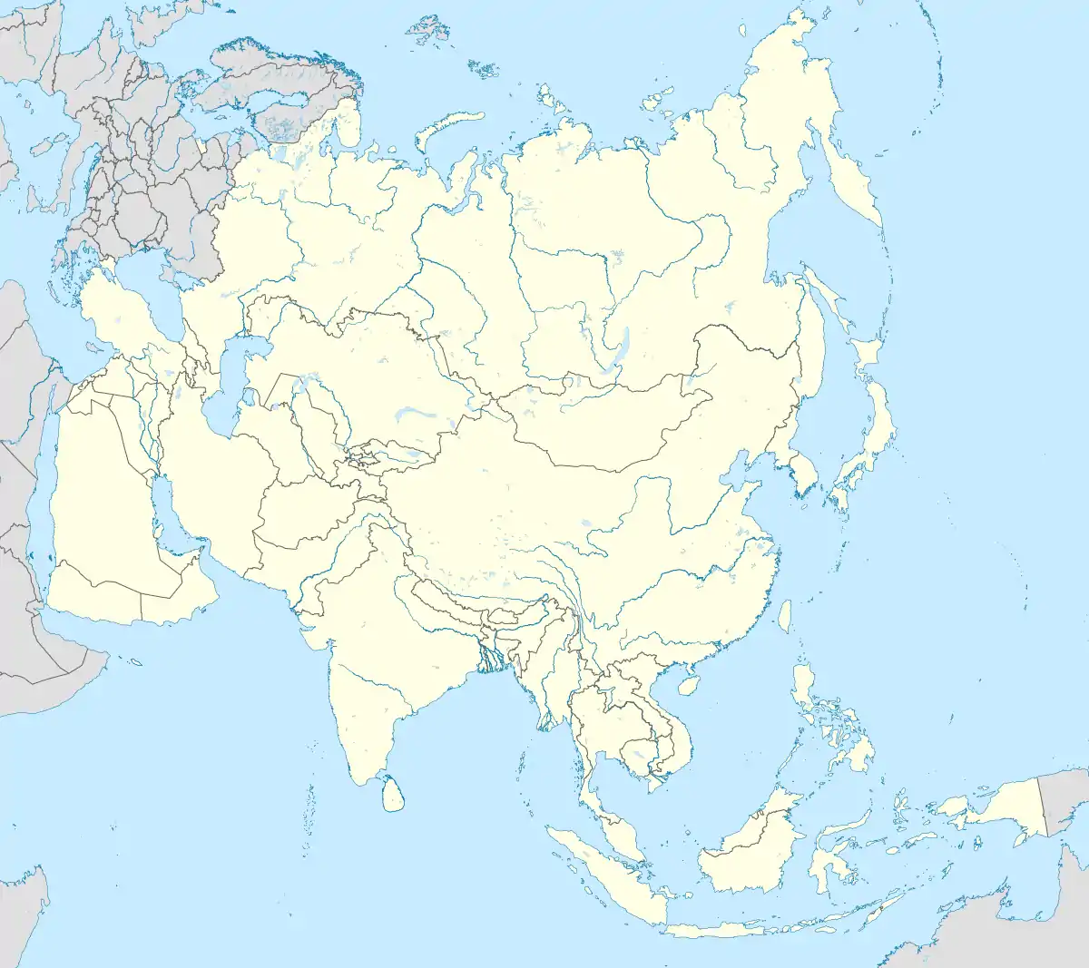
 Purulia Location in West Bengal, India  Purulia Purulia (India)  Purulia Purulia (Asia) | |
| Coordinates: 23.34°N 86.36°E | |
| Country | |
| State | |
| District | Purulia |
| Government | |
| • Type | Municipality |
| • Body | Purulia Municipality |
| Area | |
| • Total | 12.63 km2 (4.88 sq mi) |
| Elevation | 240 m (790 ft) |
| Population (2011) | |
| • Total | 121,436[2] |
| Languages | |
| • Official | Bengali[3][4] |
| • Additional official | English[3] |
| Time zone | UTC+5:30 (IST) |
| Telephone code | 91 (0)3252 |
| Vehicle registration | WB-56 |
| Sex ratio | 955 female/1000 male ♂/♀[2] |
| Literacy | 82.34 %[2] |
| Lok Sabha constituency | Purulia |
| Vidhan Sabha constituency | Purulia |
| Website | purulia |
Geography
| Places in Purulia Sadar subdivision in Purulia district M: municipality, CT: census town, R: rural/ urban centre, H: historical/ religious centre, F: facility Owing to space constraints in the small map, the actual locations in a larger map may vary slightly |
Location
Purulia is located at 23.33°N 86.37°E.[5] It has an average elevation of 228 metres (748 feet).
Area overview
Purulia district forms the lowest step of the Chota Nagpur Plateau. The general scenario is undulating land with scattered hills. Purulia Sadar subdivision covers the central portion of the district. 83.80% of the population of the subdivision lives in rural areas. The map alongside shows some urbanization around Purulia city. 18.58% of the population, the highest among the subdivisions of the district, lives in urban areas. There are 4 census towns in the subdivision. The Kangsabati (locally called Kansai) flows through the subdivision. The subdivision has old temples, some of them belonging to the 11th century or earlier. The focus is on education - the university, the sainik school, the Ramakrishna Mission Vidyapith at Bongabari, the upcoming medical college at Hatuara, et al.[6][7][8][9][10][11][12][13]
Note: The map alongside presents some of the notable locations in the subdivision. All places marked in the map are linked in the larger full screen map.
Climate
Summers are hot and dry with temperatures ranging from lows of 23 °C to highs above 48 °C. The temperature reached the highest level in the country on 18 June 2005 at 51.1 °C.[14] Winters are dry and cool with daily temperatures ranging from 5 °C to 20 °C. Most of the rainfall occurs during the wet monsoons.
| Climate data for Purulia (1981–2010, extremes 1901–2001) | |||||||||||||
|---|---|---|---|---|---|---|---|---|---|---|---|---|---|
| Month | Jan | Feb | Mar | Apr | May | Jun | Jul | Aug | Sep | Oct | Nov | Dec | Year |
| Record high °C (°F) | 33.4 (92.1) |
37.3 (99.1) |
41.7 (107.1) |
46.0 (114.8) |
46.3 (115.3) |
46.2 (115.2) |
40.7 (105.3) |
37.8 (100.0) |
39.0 (102.2) |
39.4 (102.9) |
35.1 (95.2) |
33.3 (91.9) |
46.3 (115.3) |
| Average high °C (°F) | 24.6 (76.3) |
27.9 (82.2) |
33.1 (91.6) |
37.5 (99.5) |
38.0 (100.4) |
35.1 (95.2) |
32.1 (89.8) |
31.6 (88.9) |
31.7 (89.1) |
31.3 (88.3) |
28.7 (83.7) |
25.3 (77.5) |
31.4 (88.5) |
| Average low °C (°F) | 11.2 (52.2) |
14.1 (57.4) |
18.7 (65.7) |
23.1 (73.6) |
24.8 (76.6) |
25.0 (77.0) |
24.5 (76.1) |
24.4 (75.9) |
23.7 (74.7) |
20.9 (69.6) |
16.3 (61.3) |
12.2 (54.0) |
19.9 (67.8) |
| Record low °C (°F) | 3.8 (38.8) |
6.3 (43.3) |
10.7 (51.3) |
13.5 (56.3) |
15.6 (60.1) |
18.3 (64.9) |
17.8 (64.0) |
17.2 (63.0) |
17.0 (62.6) |
13.2 (55.8) |
7.7 (45.9) |
5.7 (42.3) |
3.8 (38.8) |
| Average rainfall mm (inches) | 15.4 (0.61) |
22.9 (0.90) |
30.4 (1.20) |
39.1 (1.54) |
78.6 (3.09) |
282.6 (11.13) |
326.1 (12.84) |
295.9 (11.65) |
244.8 (9.64) |
93.3 (3.67) |
21.4 (0.84) |
15.2 (0.60) |
1,465.9 (57.71) |
| Average rainy days | 1.5 | 2.0 | 2.3 | 2.9 | 5.6 | 13.0 | 16.4 | 16.0 | 11.6 | 4.1 | 1.1 | 1.0 | 77.5 |
| Average relative humidity (%) (at 17:30 IST) | 55 | 46 | 39 | 38 | 48 | 67 | 79 | 80 | 77 | 67 | 60 | 59 | 59 |
| Source: India Meteorological Department[15][16] | |||||||||||||
Civic administration
Police stations
Purulia (Town) police station has jurisdiction over Purulia municipality and parts of Purulia I and Purulia II CD Blocks. The area covered is 13.9 km2 and the population covered is 151,210.[17][18]
Purulia (Muffasil) police station has jurisdiction over parts of Purulia I and Purulia II CD Blocks. The area covered is 434.57 km2 and the population covered is 235,853.[17][19]
Purulia Sadar Women police station was opened in 2014 at Bhatbandh, As of 2016, it is covering the jurisdiction of Purulia (T) PS, Purulia (M) PS, Kotshila PS, Arsha PS, Jhalda PS and Joypur PS.[20]
Education
University
Degree colleges
Engineering colleges
Medical colleges
Polytechnic colleges
People from Purulia
Purulia arms drop
On 18 December 1995, a mysterious weapon consignment was dropped from the sky over Joypur Jhalda area under Purulia district of West Bengal. The consignment was discovered the next morning. The reasons are still unknown.[21]
References
- "Purulia City". puruliamunicipality.org. Retrieved 24 November 2020.
- "Purulia City 2011 Census" (PDF). Census Govt. of India. Census 2011. Retrieved 9 June 2019.
- "Fact and Figures". Wb.gov.in. Retrieved 10 March 2019.
- "52nd Report of the Commissioner for Linguistic Minorities in India" (PDF). Nclm.nic.in. Ministry of Minority Affairs. p. 85. Archived from the original (PDF) on 25 May 2017. Retrieved 10 March 2019.
- "Maps, Weather, and Airports for Puruliya, India".
- Houlton, Sir John, Bihar, the Heart of India, 1949, p. 170, Orient Longmans Ltd.
- "District Statistical Handbook 2014 Purulia". Tables 2.1, 2.2. Department of Planning and Statistics, Government of West Bengal. Archived from the original on 21 January 2019. Retrieved 12 January 2020.
- "District Census Handbook, Puruliya, Series 20, Part XII A" (PDF). Deulghat - Pages 99-100: Brief Description of Places of Religious, Historical or Archaeological Importance and Places of Tourist Importance of the District. Directorate of Census Operations, West Bengal. Retrieved 21 January 2020.
- "District Census Handbook, Puruliya, Series 20, Part XII A" (PDF). Charra - Page 103: Brief Description of Places of Religious, Historical or Archaeological Importance and Places of Tourist Importance of the District. Directorate of Census Operations, West Bengal. Retrieved 21 January 2020.
- "Sidho-Kano-Birsha University". SKBU. Retrieved 17 January 2020.
- "Sainik School Purulia". SSP. Retrieved 1 February 2020.
- "West Bengal's RKM college bags highest NAAC grade". The Times of India, 16 December 2019. Retrieved 31 January 2020.
- "Purulia Government Medical College & Hospital". PGMCH. Retrieved 17 January 2020.
- "Indian Heatwave Toll Touches 183 As Monsoon Advances". Terradaily.com. Retrieved 19 September 2011.
- "Station: Purulia Climatological Table 1981–2010" (PDF). Climatological Normals 1981–2010. India Meteorological Department. January 2015. pp. 633–634. Archived from the original (PDF) on 5 February 2020. Retrieved 18 January 2021.
- "Extremes of Temperature & Rainfall for Indian Stations (Up to 2012)" (PDF). India Meteorological Department. December 2016. p. M239. Archived from the original (PDF) on 5 February 2020. Retrieved 18 January 2021.
- "District Statistical Handbook 2014 Purulia". Tables 2.1, 2.2. Department of Statistics and Programme Implementation, Government of West Bengal. Archived from the original on 29 July 2017. Retrieved 8 October 2016.
- "Purulia (Town) PS". Purulia District Police. Retrieved 8 October 2016.
- "Purulia (Muffasil) PS". Purulia District Police. Retrieved 8 October 2016.
- "Purulia Sadar Women PS". Purulia District Police. Retrieved 8 October 2016.
- "Purulia Expose: India's best kept secret". The Times of India. 28 April 2011. Retrieved 10 December 2018.
External links
 Purulia travel guide from Wikivoyage