Bueng Bun District
Bueng Bun (Thai: บึงบูรพ์, pronounced [bɯ̄ŋ būːn]) is a district (amphoe) of Sisaket Province, northeastern Thailand.
Bueng Bun
บึงบูรพ์ | |
|---|---|
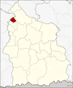 District location in Sisaket Province | |
| Coordinates: 15°19′49″N 104°2′42″E | |
| Country | Thailand |
| Province | Sisaket |
| Seat | Bueng Bun |
| Area | |
| • Total | 49.582 km2 (19.144 sq mi) |
| Population (2005) | |
| • Total | 10,655 |
| • Density | 214.9/km2 (557/sq mi) |
| Time zone | UTC+7 (ICT) |
| Postal code | 33220 |
| Geocode | 3311 |
History
The minor district (king amphoe) was created on 18 July 1977, when the four tambons, Po, Dot, Siao, and Nong Ma were split off from Uthumphon Phisai District.[1] In 1979 all sub-districts except Po were returned to Uthumphon Phisai.[2] The minor district was upgraded to a full district on 4 July 1994.[3]
Geography
Neighboring districts are (from the north clockwise): Rasi Salai, Uthumphon Phisai, and Pho Si Suwan of Sisaket Province, and Rattanaburi of Surin Province.
Administration
The district is divided into two sub-districts (tambons), which are further subdivided into 25 villages (mubans). Bueng Bun is a township (thesaban tambon) which covers parts of both tambon. There is one further tambon administrative organization (TAO).
| No. | Name | Thai name | Villages | Pop. | |
|---|---|---|---|---|---|
| 1. | Po | เป๊าะ | 16 | 6,207 | |
| 2. | Bueng Bun | บึงบูรพ์ | 9 | 4,448 |
References
- ประกาศกระทรวงมหาดไทย เรื่อง แบ่งท้องที่อำเภออุทุมพรพิสัย จังหวัดศรีสะเกษ ตั้งเป็นกิ่งอำเภอบึงบูรพ์ (PDF). Royal Gazette (in Thai). 94 (67 ง): 2886. July 19, 1977.
- ประกาศกระทรวงมหาดไทย เรื่อง เปลี่ยนแปลงเขตกิ่งอำเภอบึงบูรพ์ อำเภออุทุมพรพิสัย จังหวัดศรีสะเกษ (PDF). Royal Gazette (in Thai). 96 (192 ง): 4343. November 20, 1979.
- พระราชกฤษฎีกาตั้งอำเภอเปือยน้อย ... และอำเภอศรีวิไล พ.ศ. ๒๕๓๗ (PDF). Royal Gazette (in Thai). 111 (21 ก): 32–35. June 3, 1994.
External links
Sisaket (capital) | ||
| Districts (amphoe) |  | |
| Related topics | ||
| Neighboring areas |
| |