Colombières-sur-Orb
Colombières-sur-Orb is a commune in the Hérault department in southern France.
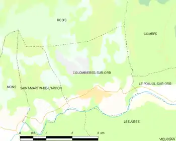
Map
Colombières-sur-Orb | |
|---|---|
 Saint-Pierre Church | |
.svg.png.webp) Coat of arms | |
Location of Colombières-sur-Orb 
| |
 Colombières-sur-Orb  Colombières-sur-Orb | |
| Coordinates: 43°34′52″N 3°00′38″E | |
| Country | France |
| Region | Occitanie |
| Department | Hérault |
| Arrondissement | Béziers |
| Canton | Saint-Pons-de-Thomières |
| Intercommunality | Orb et Jaur |
| Government | |
| • Mayor (2008–2014) | Jean-Luc Barthes |
| Area 1 | 8.11 km2 (3.13 sq mi) |
| Population (2017-01-01)[1] | 479 |
| • Density | 59/km2 (150/sq mi) |
| Time zone | UTC+01:00 (CET) |
| • Summer (DST) | UTC+02:00 (CEST) |
| INSEE/Postal code | 34080 /34390 |
| Elevation | 132–1,008 m (433–3,307 ft) |
| 1 French Land Register data, which excludes lakes, ponds, glaciers > 1 km2 (0.386 sq mi or 247 acres) and river estuaries. | |
The communal territory is home to a castle and the Gorges de Colombières, part of the Haut-Languedoc Regional Park, which includes prehistoric traces of troglodytes.
Population
| Year | Pop. | ±% |
|---|---|---|
| 1831 | 800 | — |
| 1861 | 622 | −22.3% |
| 1891 | 506 | −18.6% |
| 1921 | 349 | −31.0% |
| 1926 | 351 | +0.6% |
| 1931 | 308 | −12.3% |
| 1936 | 320 | +3.9% |
| 1946 | 292 | −8.8% |
| 1954 | 251 | −14.0% |
| 1962 | 259 | +3.2% |
| 1968 | 266 | +2.7% |
| 1975 | 270 | +1.5% |
| 1982 | 339 | +25.6% |
| 1990 | 397 | +17.1% |
| 1999 | 417 | +5.0% |
| 2008 | 452 | +8.4% |
See also
References
- "Populations légales 2017". INSEE. Retrieved 6 January 2020.
| Wikimedia Commons has media related to Colombières-sur-Orb. |
| Authority control |
|---|
This article is issued from Wikipedia. The text is licensed under Creative Commons - Attribution - Sharealike. Additional terms may apply for the media files.