Montady
Montady is a commune in the Hérault department in the Occitanie region in southern France.
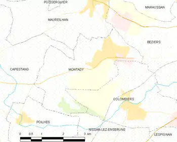
Map
Montady | |
|---|---|
 Étang de Montady | |
.svg.png.webp) Coat of arms | |
Location of Montady 
| |
 Montady  Montady | |
| Coordinates: 43°19′53″N 3°07′18″E | |
| Country | France |
| Region | Occitanie |
| Department | Hérault |
| Arrondissement | Béziers |
| Canton | Cazouls-lès-Béziers |
| Intercommunality | Domitienne |
| Government | |
| • Mayor (2008–2014) | Alain Castan |
| Area 1 | 9.95 km2 (3.84 sq mi) |
| Population (2017-01-01)[1] | 3,935 |
| • Density | 400/km2 (1,000/sq mi) |
| Time zone | UTC+01:00 (CET) |
| • Summer (DST) | UTC+02:00 (CEST) |
| INSEE/Postal code | 34161 /34310 |
| Elevation | 10–113 m (33–371 ft) (avg. 7 m or 23 ft) |
| 1 French Land Register data, which excludes lakes, ponds, glaciers > 1 km2 (0.386 sq mi or 247 acres) and river estuaries. | |
Population
|
|
References
- "Populations légales 2017". INSEE. Retrieved 6 January 2020.
| Wikimedia Commons has media related to Montady. |
| Authority control |
|
|---|
This article is issued from Wikipedia. The text is licensed under Creative Commons - Attribution - Sharealike. Additional terms may apply for the media files.