Castanet-le-Haut
Castanet-le-Haut is a commune in the Hérault department in southern France.
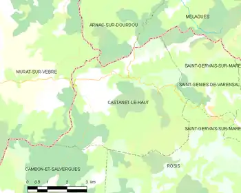
Map

Croix de Mounis, l'Espinouse
Castanet-le-Haut | |
|---|---|
 The road into Castanet-le-Haut | |
.svg.png.webp) Coat of arms | |
Location of Castanet-le-Haut 
| |
 Castanet-le-Haut  Castanet-le-Haut | |
| Coordinates: 43°40′07″N 2°58′21″E | |
| Country | France |
| Region | Occitanie |
| Department | Hérault |
| Arrondissement | Béziers |
| Canton | Saint-Pons-de-Thomières |
| Intercommunality | Montagne du Haut Languedoc |
| Government | |
| • Mayor (2014–2020) | Max Allies |
| Area 1 | 27.55 km2 (10.64 sq mi) |
| Population (2017-01-01)[1] | 206 |
| • Density | 7.5/km2 (19/sq mi) |
| Time zone | UTC+01:00 (CET) |
| • Summer (DST) | UTC+02:00 (CEST) |
| INSEE/Postal code | 34055 /34610 |
| Elevation | 389–1,124 m (1,276–3,688 ft) (avg. 450 m or 1,480 ft) |
| 1 French Land Register data, which excludes lakes, ponds, glaciers > 1 km2 (0.386 sq mi or 247 acres) and river estuaries. | |
Geography
The commune is traversed by the Dourdou de Camarès River and the Mare River.
Population
|
|
The residents are called Castanetais.
See also
References
- "Populations légales 2017". INSEE. Retrieved 6 January 2020.
| Wikimedia Commons has media related to Castanet-le-Haut. |
| Authority control |
|---|
This article is issued from Wikipedia. The text is licensed under Creative Commons - Attribution - Sharealike. Additional terms may apply for the media files.