Gurunhuel
Gurunhuel (Breton: Gurunuhel) is a commune in the Côtes-d'Armor department of Brittany in northwestern France.
Gurunhuel
Gurunuhel | |
|---|---|
_%C3%89glise_02.JPG.webp) The church of Notre-Dame, in Gurunhuel | |
Location of Gurunhuel 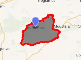
| |
 Gurunhuel 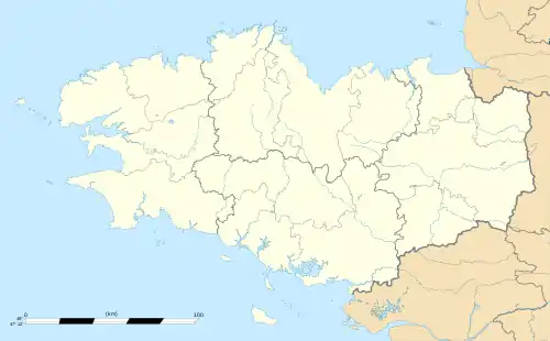 Gurunhuel | |
| Coordinates: 48°31′01″N 3°17′57″W | |
| Country | France |
| Region | Brittany |
| Department | Côtes-d'Armor |
| Arrondissement | Guingamp |
| Canton | Callac |
| Intercommunality | Pays de Belle-Isle-en-Terre |
| Government | |
| • Mayor (2014–2020) | Paul Rolland |
| Area 1 | 19.58 km2 (7.56 sq mi) |
| Population (2017-01-01)[1] | 421 |
| • Density | 22/km2 (56/sq mi) |
| Time zone | UTC+01:00 (CET) |
| • Summer (DST) | UTC+02:00 (CEST) |
| INSEE/Postal code | 22072 /22390 |
| Elevation | 159–302 m (522–991 ft) |
| 1 French Land Register data, which excludes lakes, ponds, glaciers > 1 km2 (0.386 sq mi or 247 acres) and river estuaries. | |
Population
| Year | Pop. | ±% |
|---|---|---|
| 1793 | 1,000 | — |
| 1800 | 886 | −11.4% |
| 1806 | 934 | +5.4% |
| 1821 | 913 | −2.2% |
| 1831 | 1,185 | +29.8% |
| 1836 | 1,358 | +14.6% |
| 1841 | 1,373 | +1.1% |
| 1846 | 1,450 | +5.6% |
| 1851 | 1,480 | +2.1% |
| 1856 | 1,320 | −10.8% |
| 1861 | 1,424 | +7.9% |
| 1866 | 1,484 | +4.2% |
| 1872 | 1,458 | −1.8% |
| 1876 | 1,481 | +1.6% |
| 1881 | 1,392 | −6.0% |
| 1886 | 1,508 | +8.3% |
| 1891 | 1,356 | −10.1% |
| 1896 | 1,228 | −9.4% |
| 1901 | 1,238 | +0.8% |
| 1906 | 1,261 | +1.9% |
| 1911 | 1,296 | +2.8% |
| 1921 | 1,144 | −11.7% |
| 1926 | 1,164 | +1.7% |
| 1931 | 1,079 | −7.3% |
| 1936 | 974 | −9.7% |
| 1946 | 861 | −11.6% |
| 1954 | 770 | −10.6% |
| 1962 | 683 | −11.3% |
| 1968 | 591 | −13.5% |
| 1975 | 508 | −14.0% |
| 1982 | 440 | −13.4% |
| 1990 | 404 | −8.2% |
| 1999 | 383 | −5.2% |
| 2008 | 399 | +4.2% |
The inhabitants of Gurunhuel are known in French as gurunhuelois.
References
- "Populations légales 2017". INSEE. Retrieved 6 January 2020.
External links
| Wikimedia Commons has media related to Gurunhuel. |
- Base Mérimée: Search for heritage in the commune, Ministère français de la Culture. (in French)
| Authority control |
|---|
This article is issued from Wikipedia. The text is licensed under Creative Commons - Attribution - Sharealike. Additional terms may apply for the media files.