Lanrivain
Lanrivain (Breton: Larruen) is a commune in the Côtes-d'Armor department of Brittany in northwestern France.
Lanrivain
Larruen | |
|---|---|
_%C3%89glise_Saint-Gr%C3%A9goire_06.JPG.webp) The church of Saint-Grégoire | |
Location of Lanrivain 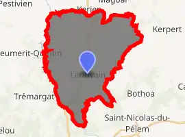
| |
 Lanrivain 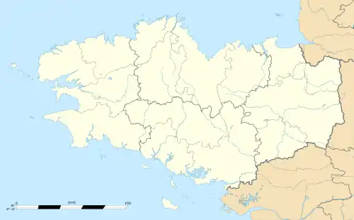 Lanrivain | |
| Coordinates: 48°20′51″N 3°12′46″W | |
| Country | France |
| Region | Brittany |
| Department | Côtes-d'Armor |
| Arrondissement | Guingamp |
| Canton | Rostrenen |
| Intercommunality | Kreiz-Breizh |
| Government | |
| • Mayor (2014–2020) | Matthieu Geffroy |
| Area 1 | 36.74 km2 (14.19 sq mi) |
| Population (2017-01-01)[1] | 456 |
| • Density | 12/km2 (32/sq mi) |
| Time zone | UTC+01:00 (CET) |
| • Summer (DST) | UTC+02:00 (CEST) |
| INSEE/Postal code | 22115 /22480 |
| Elevation | 160–281 m (525–922 ft) |
| 1 French Land Register data, which excludes lakes, ponds, glaciers > 1 km2 (0.386 sq mi or 247 acres) and river estuaries. | |
Population
| Year | Pop. | ±% |
|---|---|---|
| 1793 | 1,433 | — |
| 1800 | 1,113 | −22.3% |
| 1806 | 1,416 | +27.2% |
| 1821 | 1,400 | −1.1% |
| 1831 | 1,416 | +1.1% |
| 1836 | 1,698 | +19.9% |
| 1841 | 1,652 | −2.7% |
| 1846 | 1,775 | +7.4% |
| 1851 | 1,730 | −2.5% |
| 1856 | 1,650 | −4.6% |
| 1861 | 1,691 | +2.5% |
| 1866 | 1,586 | −6.2% |
| 1872 | 1,547 | −2.5% |
| 1876 | 1,612 | +4.2% |
| 1881 | 1,630 | +1.1% |
| 1886 | 1,594 | −2.2% |
| 1891 | 1,551 | −2.7% |
| 1896 | 1,632 | +5.2% |
| 1901 | 1,687 | +3.4% |
| 1906 | 1,740 | +3.1% |
| 1911 | 1,815 | +4.3% |
| 1921 | 1,802 | −0.7% |
| 1926 | 1,801 | −0.1% |
| 1931 | 1,496 | −16.9% |
| 1936 | 1,531 | +2.3% |
| 1946 | 1,220 | −20.3% |
| 1954 | 1,079 | −11.6% |
| 1962 | 960 | −11.0% |
| 1968 | 882 | −8.1% |
| 1975 | 761 | −13.7% |
| 1982 | 638 | −16.2% |
| 1990 | 510 | −20.1% |
| 1999 | 524 | +2.7% |
| 2008 | 564 | +7.6% |
Inhabitants of Lanrivain are called lanrivanais in French.
References
- "Populations légales 2017". INSEE. Retrieved 6 January 2020.
External links
| Wikimedia Commons has media related to Lanrivain. |
- Base Mérimée: Search for heritage in the commune, Ministère français de la Culture. (in French)
| Authority control |
|---|
This article is issued from Wikipedia. The text is licensed under Creative Commons - Attribution - Sharealike. Additional terms may apply for the media files.
