Paule
Paule (Breton: Paoul) is a commune in the Côtes-d'Armor department in Brittany in northwestern France.
Paule
Paoul | |
|---|---|
_Chapelle_de_Lansala%C3%BCn_01.JPG.webp) The chapel of Lansalaün | |
Location of Paule 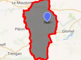
| |
 Paule 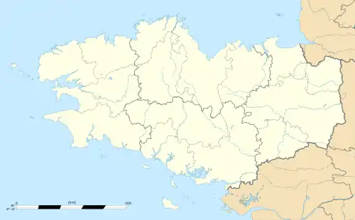 Paule | |
| Coordinates: 48°14′13″N 3°26′37″W | |
| Country | France |
| Region | Brittany |
| Department | Côtes-d'Armor |
| Arrondissement | Guingamp |
| Canton | Rostrenen |
| Intercommunality | Kreiz-Breizh |
| Government | |
| • Mayor (2014–2020) | Patrick Lijeour |
| Area 1 | 37.56 km2 (14.50 sq mi) |
| Population (2017-01-01)[1] | 707 |
| • Density | 19/km2 (49/sq mi) |
| Time zone | UTC+01:00 (CET) |
| • Summer (DST) | UTC+02:00 (CEST) |
| INSEE/Postal code | 22163 /22340 |
| Elevation | 108–298 m (354–978 ft) |
| 1 French Land Register data, which excludes lakes, ponds, glaciers > 1 km2 (0.386 sq mi or 247 acres) and river estuaries. | |
Population
| Year | Pop. | ±% |
|---|---|---|
| 1800 | 1,379 | — |
| 1806 | 1,219 | −11.6% |
| 1821 | 1,356 | +11.2% |
| 1831 | 1,686 | +24.3% |
| 1836 | 1,482 | −12.1% |
| 1841 | 1,708 | +15.2% |
| 1846 | 1,720 | +0.7% |
| 1851 | 1,625 | −5.5% |
| 1856 | 1,537 | −5.4% |
| 1861 | 1,483 | −3.5% |
| 1866 | 1,650 | +11.3% |
| 1872 | 1,600 | −3.0% |
| 1876 | 1,639 | +2.4% |
| 1881 | 1,454 | −11.3% |
| 1886 | 1,497 | +3.0% |
| 1891 | 1,689 | +12.8% |
| 1896 | 1,721 | +1.9% |
| 1901 | 1,812 | +5.3% |
| 1906 | 1,890 | +4.3% |
| 1911 | 1,927 | +2.0% |
| 1921 | 1,888 | −2.0% |
| 1926 | 1,800 | −4.7% |
| 1931 | 1,695 | −5.8% |
| 1936 | 1,522 | −10.2% |
| 1946 | 1,473 | −3.2% |
| 1954 | 1,202 | −18.4% |
| 1962 | 1,094 | −9.0% |
| 1968 | 962 | −12.1% |
| 1975 | 811 | −15.7% |
| 1982 | 716 | −11.7% |
| 1990 | 627 | −12.4% |
| 1999 | 652 | +4.0% |
| 2008 | 713 | +9.4% |
Inhabitants of Paule are called paulois in French.
References
- "Populations légales 2017". INSEE. Retrieved 6 January 2020.
External links
| Wikimedia Commons has media related to Paule. |
- Paule web site
- Base Mérimée: Search for heritage in the commune, Ministère français de la Culture. (in French)
| Authority control |
|---|
This article is issued from Wikipedia. The text is licensed under Creative Commons - Attribution - Sharealike. Additional terms may apply for the media files.
