Uramita
Uramita is a town and municipality in Antioquia Department, Colombia.
Uramita | |
|---|---|
Municipality and town | |
 View of Uramita_iglesia.jpg | |
.svg.png.webp) Flag  Seal | |
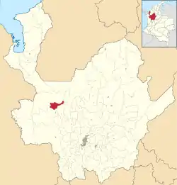 Location of the municipality and town of Uramita in the Antioquia Department of Colombia | |
 Uramita Location in Colombia | |
| Coordinates: 6°53′55″N 76°10′25″W | |
| Country | |
| Department | |
| Subregion | Western |
| Time zone | UTC-5 (Colombia Standard Time) |
Climate
Uramita has a tropical monsoon climate (Am) with moderate rainfall from January to March and heavy rainfall in the remaining months.
| Climate data for Uramita | |||||||||||||
|---|---|---|---|---|---|---|---|---|---|---|---|---|---|
| Month | Jan | Feb | Mar | Apr | May | Jun | Jul | Aug | Sep | Oct | Nov | Dec | Year |
| Average high °C (°F) | 29.3 (84.7) |
29.3 (84.7) |
29.8 (85.6) |
29.1 (84.4) |
27.9 (82.2) |
28.3 (82.9) |
28.4 (83.1) |
28.3 (82.9) |
27.6 (81.7) |
27.5 (81.5) |
27.4 (81.3) |
28.0 (82.4) |
28.4 (83.1) |
| Daily mean °C (°F) | 24.2 (75.6) |
24.5 (76.1) |
25.0 (77.0) |
24.6 (76.3) |
24.0 (75.2) |
24.1 (75.4) |
24.2 (75.6) |
24.1 (75.4) |
23.8 (74.8) |
23.7 (74.7) |
23.6 (74.5) |
23.9 (75.0) |
24.1 (75.5) |
| Average low °C (°F) | 19.2 (66.6) |
19.8 (67.6) |
20.3 (68.5) |
20.2 (68.4) |
20.2 (68.4) |
19.9 (67.8) |
20.0 (68.0) |
20.0 (68.0) |
20.0 (68.0) |
19.9 (67.8) |
19.9 (67.8) |
19.8 (67.6) |
19.9 (67.9) |
| Average rainfall mm (inches) | 56 (2.2) |
72 (2.8) |
89 (3.5) |
216 (8.5) |
263 (10.4) |
244 (9.6) |
229 (9.0) |
246 (9.7) |
255 (10.0) |
303 (11.9) |
222 (8.7) |
135 (5.3) |
2,330 (91.6) |
This article is issued from Wikipedia. The text is licensed under Creative Commons - Attribution - Sharealike. Additional terms may apply for the media files.