Villers-le-Sec, Meuse
Villers-le-Sec is a commune in the Meuse department in Grand Est in north-eastern France. Its epithet "Sec" (dry) comes from the fact that no rivers pass through Villers-le-Sec, which is located on the plateau between the rivers Ornain and Saulx. However, the village is not completely deprived of water since it is located above a water table and there are many ponds.
Villers-le-Sec | |
|---|---|
 Coat of arms | |
Location of Villers-le-Sec 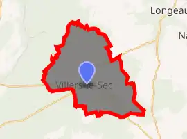
| |
 Villers-le-Sec  Villers-le-Sec | |
| Coordinates: 48°37′14″N 5°17′47″E | |
| Country | France |
| Region | Grand Est |
| Department | Meuse |
| Arrondissement | Bar-le-Duc |
| Canton | Ligny-en-Barrois |
| Government | |
| • Mayor (2014–2020) | Dominique Karp |
| Area 1 | 7 km2 (3 sq mi) |
| Population (2017-01-01)[1] | 125 |
| • Density | 18/km2 (46/sq mi) |
| Time zone | UTC+01:00 (CET) |
| • Summer (DST) | UTC+02:00 (CEST) |
| INSEE/Postal code | 55562 /55500 |
| 1 French Land Register data, which excludes lakes, ponds, glaciers > 1 km2 (0.386 sq mi or 247 acres) and river estuaries. | |
History
Villers-le-Sec had more than 500 inhabitants in the middle of the 19th century,[2] when an iron mine was operated near the village. Forestry remains a significant resource today. The only industry which remains today is a distillery, which produces mirabelle brandy during the low season.
See also
References
- "Populations légales 2017". INSEE. Retrieved 6 January 2020.
- Cassini data
| Wikimedia Commons has media related to Villers-le-Sec (Meuse). |
| Authority control |
|---|
This article is issued from Wikipedia. The text is licensed under Creative Commons - Attribution - Sharealike. Additional terms may apply for the media files.