75th meridian west

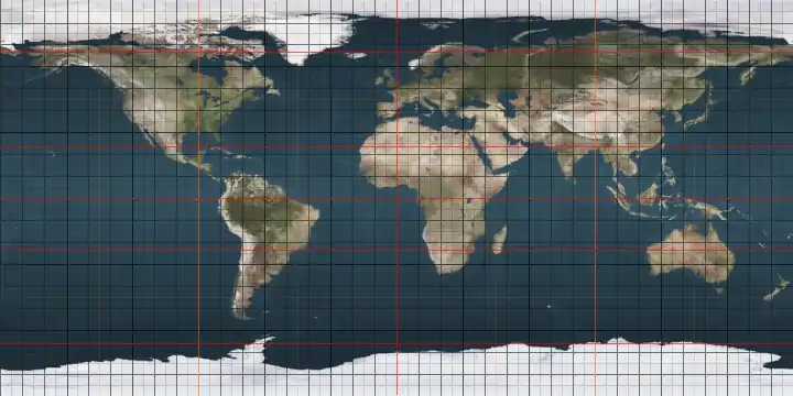
The meridian 75° west of Greenwich is a line of longitude that extends from the North Pole across the Arctic Ocean, North America, the Atlantic Ocean, the Caribbean Sea, South America, the Pacific Ocean, the Southern Ocean, and Antarctica to the South Pole.

75°
75th meridian west

The mean solar time of this meridian is the base for the Eastern Time Zone (UTC-5 during standard time).

Stations belonging to the US National Weather Service begin submitting weather reports when the mean solar time of this meridian is 8:00 am. Report collection ends 30–40 minutes later and the data is used to create the day's weather forecast.[1]

The 75th meridian west forms a great circle with the 105th meridian east.

From Pole to Pole

Starting at the North Pole and heading south to the South Pole, the 75th meridian west passes through:

Co-ordinates Country, territory or sea Notes
90°0′N 75°0′W Arctic Ocean
83°3′N 75°0′W  Canada NunavutEllesmere Island
78°32′N 75°0′W Baffin Bay
72°18′N 75°0′W  Canada NunavutBaffin Island and Foley Island
68°22′N 75°0′W Foxe Basin Passing just to the east of Prince Charles Island, Nunavut,  Canada (at 68°8′N 75°0′W)
65°22′N 75°0′W  Canada NunavutFoxe Peninsula, Baffin Island
64°25′N 75°0′W Hudson Strait
62°16′N 75°0′W  Canada Quebec
Ontario — from 45°36′N 75°0′W
44°59′N 75°0′W  United States New York
Pennsylvania — from 41°31′N 75°0′W
New Jersey — from 41°4′N 75°0′W
Pennsylvania — from 40°25′N 75°0′W (passing through Northeast Philadelphia Airport)
New Jersey — from 40°2′N 75°0′W
39°11′N 75°0′W Delaware Bay
38°50′N 75°0′W Atlantic Ocean Passing just east of the Delmarva Peninsula,  United States (at 38°26′N 75°3′W)
Passing just east of Conception Island,  Bahamas (at 23°50′N 75°6′W)
Passing just west of Rum Cay,  Bahamas (at 23°40′N 74°57′W)
23°7′N 75°0′W  Bahamas Long Island
23°5′N 75°0′W Atlantic Ocean
20°42′N 75°0′W  Cuba
19°55′N 75°0′W Caribbean Sea Passing just east of Navassa Island,  United States Minor Outlying Islands (at 18°24′N 75°0′W)
10°59′N 75°0′W  Colombia
0°7′S 75°0′W  Peru Loreto Region
Ucayali Region — from 7°59′S 75°0′W
Huánuco Region — from 8°48′S 75°0′W
Pasco Region — from 9°47′S 75°0′W
Junín Region — from 10°45′S 75°0′W
Huancavelica Region — from 11°57′S 75°0′W
Ayacucho Region — from 14°7′S 75°0′W
Ica Region — from 14°38′S 75°0′W
Arequipa Region — from 15°27′S 75°0′W
15°28′S 75°0′W Pacific Ocean Passing just west of Guafo Island,  Chile (at 43°34′S 74°49′W)
Passing just east of Guamblín Island,  Chile (at 44°51′S 75°1′W)
45°52′S 75°0′W  Chile
46°45′S 75°0′W Pacific Ocean Gulf of Penas
47°42′S 75°0′W  Chile Several islands in the Patagonic Archipelago, including Wager Island, Prat Island, Serrano Island, Knorr Island, Wellington Island, Angamos Island, Madre de Dios Island, Anafur Island, Doñas Island, Valenzuela Island, Dagigno Island, Agustin Island, Diego de Almagro Island, Jorge Montt Island, Ramirez Island and Contreras Island
52°7′S 75°0′W Pacific Ocean
60°0′S 75°0′W Southern Ocean
69°31′S 75°0′W Antarctica Territory claimed by  Chile (Antártica Chilena Province) and by the  United Kingdom (British Antarctic Territory)

See also

References

  1. Moore.Descriptive Meteorology. D. Appleton and Company., 1910, p. 217.
This article is issued from Wikipedia. The text is licensed under Creative Commons - Attribution - Sharealike. Additional terms may apply for the media files.