Ilketshall St Andrew
Ilketshall St Andrew is a village and civil parish in the East Suffolk district of Suffolk, England. The population of St Andrew, Ilketshall was 291 according to the 2011 Census, of which 146 are males, and 145 are females.[2] St Andrew's church is one of 38 existing round-tower churches in Suffolk.
| Ilketshall St Andrew | |
|---|---|
 St Andrew's Church | |
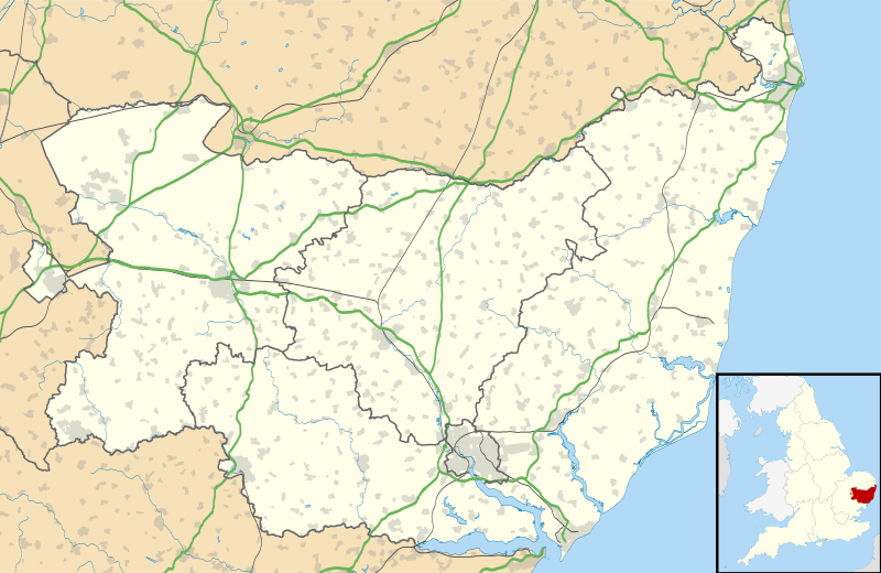 Ilketshall St Andrew Location within Suffolk | |
| Population | 291 (2011 Census) [1] |
| Civil parish |
|
| District | |
| Shire county | |
| Region | |
| Country | England |
| Sovereign state | United Kingdom |
| Post town | Beccles |
| Postcode district | NR34 |
| Police | Suffolk |
| Fire | Suffolk |
| Ambulance | East of England |
| UK Parliament | |
St Andrew, Ilketshall is one of the several parishes in the 'Saints' area, close to Bungay.[3][4] The district comprises the parishes of St Andrew, St John, St Laurence, St Margaret, and 'All Saints Mettingham' which includes the parishes of St Mary and Holy Trinity in Bungay.[5] These parishes make up what is known as 'the Seven Parishes'.

Etymology
Ilketshall is named after the 'hall of Alfkethill'.[6] Ilketshall signifies the chief residence of Ulketil, who was Earl of East Anglia in the 11th Century holding estates in 'Uchetel'.[7] The King William Rufus[8] and Earl Hugh took possession of the greater part of Ilketshall, but their estates were divided up into smaller parcels. The principal of these was one which assumed its surname from the name of the township, whom was Gilbert de Ilketshall,[7] who was lord of the manor that included St Andrew's.
History

In the 1870s John Marius Wilson's Imperial Gazetteer of England and Wales described Ilketshall St Andrews as:
"Ilketshall St. Andrews, a parish in Wangford district, Suffolk; 4 miles SE of Bungay r. station. It has a postal letter box under Bungay. The property is much subdivided. The living is a vicarage in the diocese of Norwich. The church has an octangular tower, and is in good condition. There is a Wesleyan chapel."[9]
Demographics
Population

The average age of a St Andrew, Ilketshall resident is 43.9.[10] The population of St Andrew, Ilketshall has fallen slightly over the last two centuries (1801-2011). There was a sudden drop in the total population between 1891 and 1901. This is because there was a significant drop of 5% in the production of wheat and barley being produced in Suffolk between 1891 and 1901.[11] This is because agriculture was the largest sector of employment at the time.[12]
Employment

In 1881 the largest employment sector for males in 1881 was agriculture with 88 men. The total farming area for St Andrew, Ilketshall was 1,718 acres of land,[13] the soil being generally heavy; subsoil, and sandy clay. The predominant crop grown at the time was wheat, barley, and bean.[13] The main industry of the time was agriculture.[12] As of 2011, there were 142 residents of St Andrew, Ilketshall aged 16 to 74 in employment.[14] The largest sector for employment as of 2011 in St Andrew, Ilketshall is 'wholesale and retail trade; repair of motor vehicles'.[14] The rate of unemployment in St Andrew, Ilketshall is 3.6% which is both higher than the average for Suffolk and the national average (4.7%).[15][16] Today agriculture accounts for only 9.2% of the total economically active people in St Andrew, Ilketshall.[14] Unskilled labour is the leading form of employment in St Andrew Ilketshall is the such as "Wholesale and Retail Trade; Repair of Motor Vehicles".[14] This can be shown from St Andrew Ilketshall having a significantly higher level of residences with either no qualifications 29.8%.[16]
Ethnicity
According to the 2011 census, 96.9% of the residence are 'White British'.[17]
Housing
There is a total of 114 households in St Andrew, Ilketshall.[18] Over the last 20 years, average house prices have gone from £205,489 to the current price of £341,886 which is a change of 273.25%. The majority of housing in St Andrew, Ilketshall is either owned or mortgaged which is 69.4%.[19]
Churches
There are two churches in St Andrew, Ilketshall. Both being built in flushwork style of architecture, with the split (spaultered) dark sides of the flint facing outwards.[20]
St Andrew Church
The St Andrew round-tower church dates from the 12th century.[21] The church sits at a bend in the road of School Road. As is common in parts of East Anglia the church has an octagonal shaped bell tower[22] built in the Saxon, Norman Gothic style, consisting of chancel, nave, and an embattled western tower.[13] A modern statue of St Andrew watches out from the niche on the porch, which was built at the start of the Anglican Reformation.[23] The graveyard of the church has had no clearance of older gravestones.[23] In 1810 there was a screen between the body of the church and the chancel, which was destroyed in December 2001,[5] which revealed a series of wall paintings.[24] These paintings are similar to that found in the nearby St Botolph, North Cove.[23] The image depicts the theme of the 'Wheel of Fortune' and the unpredictable nature of human affairs.[25] A crowned figure is found sitting on top of a wheel rotating it, to which humankind must follow the rotation. The rotation is circular, so a downturn in human affairs must be inevitably followed by an upturn.[25] The church is still running services.[26]
Wesleyan Chapel

The second church within St Andrew, Ilketshall is an old chapel, St Andrew Methodist Chapel built in 1840 by the local Wesleyan Society[27][28] The chapel is a Grade II listed building, built with windows in the early Victorian style when Gothic was preferred.[27] It is well-maintained with a small garden at the front of the chapel.[29] Worship at the chapel has now ceased.[30]
References
- "Parish population 2011". Retrieved 20 September 2015.
- "Ilketshall St Andrew (Parish): Key Figures for the 2011 Census: Key Statistics". Neighborhood Statistics. Office for National Statistics. Retrieved 2 February 2017.
- "St Andre, Ilketshall" (PDF). Healthy Suffolk. 18 May 2016. Archived from the original (PDF) on 24 March 2017. Retrieved 23 March 2017.
- "St Andrew, Ilketshall St Andrew". Suffolk Churches. Retrieved 23 March 2017.
- Suckling, Alfred. "Ilketshall". British History Online. Retrieved 23 March 2017.
- "Bungay - The Surrounding Area". Bungay Suffolk. Retrieved 26 March 2017.
- "Ilketshall St Andrew - History". Ilketshall St Andrew Village Hall. Retrieved 23 March 2017.
- "St Andrew, Ilketshall St Andrew, Suffolk". The Corpus of Romanesque Sculpture in Britain And Ireland. Retrieved 2 May 2017.
- Wilson, John Marius (1870–72). Imperial Gazetteer of England and Wales. Edinburgh: A. Fullerton & Co.
- "Ilketshall St Andrew Age Distribution Statistics". ILiveHere. 2011. Retrieved 28 March 2017.
- "Acreages of different crops, as reported by the Agricultural Census for 1891 through 1901". A Vision of Britain Through Time. 1901. Retrieved 27 March 2017.
- "Occuation data 1881". A Vision of Britain Through Time. Retrieved 27 March 2017.
- Kellys. "Ilketshall St Andrew". Nine Parishes.
- "Industry, 2011: St Andrew, Ilketshall". Neighborhood Statistics. Retrieved 28 March 2017.
- "Unemployment Rate (aged 16 and over, seasonally adjusted)". Office for National Statistics. January 2016. Retrieved 28 March 2017.
- "Ilketshall St Andrew Benefits and Unemployment Statistics". ILiveHere. 2011. Retrieved 28 March 2017.
- "Ethnic Group, St Andrew, Ilketshall". Retrieved 28 March 2017.
- "Household Composition 2011, St Andrew, Ilketshall". Neighborhood Statistics. 2011. Retrieved 28 March 2017.
- "Ilketshall St Andrew Property Ownership and Rental Statistics". ILiveHere. 2011. Retrieved 28 March 2017.
- "Flushwork". Encyclopedia.com.
- "Ilketshall St Andrew and St John Walks" (PDF). Discover Suffolk. Retrieved 26 March 2017.
- Howse, Christopher (27 December 2014). "The Strange Round Towers of East Anglia". The Telegraph. Retrieved 23 March 2017.
- "St Andre, Ilketshall St Andrew". Suffolk Churches. Retrieved 23 March 2017.
- "The Saints and the Waveney Valley" (PDF). Discover Suffolk. Retrieved 26 March 2017.
- Marshall, Anne (1 August 2009). "The wheel of fortune: Ilketshall St Andrew, Suffolk". Painted Church. Retrieved 26 March 2017.
- "The Church of England, Ilketshall St Andrew callender". The Church of England. Archived from the original on 24 March 2017. Retrieved 23 March 2017.
- Knott, Simon (July 2008). "Methodist Chapel, Ilketshall St Andrew". Suffolk Churches.
- Whites. "Ilketshall St Andrew". Nine Parishes.
- "Ilketshall St Andrew, CHurches". Waveney Valley Ecumenical Partnership. Archived from the original on 24 March 2017. Retrieved 23 March 2017.
- "The Waveney Valley Ecumenical Partnership: Ilketshall St Andrew". Waveney Valley Ecumenical Partnership. Archived from the original on 24 March 2017. Retrieved 27 March 2017.
| Boroughs or districts | |
|---|---|
| Major settlements |
|
| Topics | |