Paddys River (South West Slopes, New South Wales)
Paddys River, a watercourse[1] of the Murray catchment within the Murray–Darling basin, is located in the Australian Alpine region of New South Wales, Australia.
| Paddys River Cowra Creek[1] | |
|---|---|
 Paddys River, located at the Paddys River Falls | |
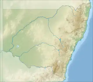
 Location in New South Wales | |
| Location | |
| Country | Australia |
| State | New South Wales |
| Region | IBRA: Australian Alps |
| District | Snowy Mountains, South West Slopes |
| Municipality | Tumbarumba |
| Physical characteristics | |
| Source | Snowy Mountains |
| • location | east of Tumbarumba |
| • elevation | 1,180 m (3,870 ft) |
| Mouth | confluence with the Tumbarumba Creek |
• location | north of Tooma |
• coordinates | 35°49′22″S 148°10′49″E |
• elevation | 346 m (1,135 ft) |
| Length | 31 km (19 mi) |
| Basin features | |
| River system | Murray River, Murray–Darling basin |
| Waterbodies | Paddys River Dam |
| Waterfalls | Paddys River Falls |
| [1][2][3] | |
Course and features
The river rises below Granite Mountain, east of Tumbarumba, on the western slopes of the Snowy Mountains within Bago State Forest, and its natural flow drains generally south, and then south-west, before reaching its confluence with the Tumbarumba Creek, north of the village of Tooma; descending 832 metres (2,730 ft) over its 31 kilometres (19 mi) course. The river is impounded by Paddys River Dam.[1][2] Approximately 15 kilometres (9.3 mi) south of Tumbarumba, the river descends 18-metre (59 ft) over the Paddys River Falls.[3]
References
- "Paddys River". Geographical Names Register (GNR) of NSW. Geographical Names Board of New South Wales. Retrieved 10 February 2013.

- "Map of Paddys River". Bonzle Digital Atlas of Australia. Retrieved 10 February 2013.
- "Paddys River Falls". World of Waterfalls. 10 November 2006. Retrieved 29 January 2019.
External links
- "Murray River catchment (NSW)" (map). Office of Environment and Heritage. Government of New South Wales.
- Paddys River Facebook Page
This article is issued from Wikipedia. The text is licensed under Creative Commons - Attribution - Sharealike. Additional terms may apply for the media files.