Balgalal Creek
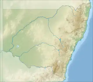
The Balgalal Creek, a mostly–perennial river[2] that is part of the Lachlan sub-catchment of the Murrumbidgee catchment within the Murray–Darling basin, is located in the South West Slopes region of New South Wales, Australia.
| Balgalal Bangalal, Bungalal, Sheep Station | |
|---|---|
 | |
| Location | |
| Country | Australia |
| State | New South Wales |
| Region | South Eastern Highlands (IBRA), South West Slopes |
| LGA | Yass Valley |
| Town | Binalong |
| Physical characteristics | |
| Source | Great Dividing Range |
| • location | near Eubindal |
| • coordinates | 34°36′23″S 148°43′29″E |
| Mouth | confluence with Jugiong Creek |
• location | west of Binalong |
• coordinates | 34°43′33″S 148°34′47″E |
| Length | 19 km (12 mi) |
| Basin features | |
| River system | Lachlan sub-catchment, Murray–Darling basin |
| [1] | |
Course and features
The Balgalal Creek (technically a river[2]) rises south southeast of Eubindal, on the south western slopes of the Great Dividing Range, and flows generally southwest before reaching its confluence with the Jugiong Creek.
References
- "Our partners: local government". Lachlan Catchment Management Authority. Government of New South Wales. 2013. Retrieved 9 February 2013.
- "Balgalal Creek". Geographical Names Register (GNR) of NSW. Geographical Names Board of New South Wales. Retrieved 8 December 2014.

External links
- "Lachlan River catchment" (map). Office of Environment and Heritage. Government of New South Wales.
- Trueman, Will (2012). True Tales of the Trout Cod: River Histories of the Murray–Darling Basin (Lachlan River catchment booklet) (PDF). Canberra: Murray–Darling Basin Authority. ISBN 978-1-921914-98-0. Archived from the original (PDF) on 25 February 2014.
Rivers of the Murrumbidgee River catchment, New South Wales and the Australian Capital Territory, Australia | |||||
|---|---|---|---|---|---|
| |||||
| |||||
This article is issued from Wikipedia. The text is licensed under Creative Commons - Attribution - Sharealike. Additional terms may apply for the media files.