Three Brothers (New South Wales)
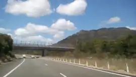
Three Brothers, three separate mountains of the Mid North Coast region of New South Wales, Australia, are situated approximately 360 kilometres (220 mi) north of Sydney.
| Middle Brother | |
|---|---|
 South Brother 2018 | |
| Highest point | |
| Elevation | 554 m (1,818 ft) [1] |
| Coordinates | 31°42′07″S 152°40′41″E [2] |
| Geography | |
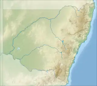
 Middle Brother Location in New South Wales, Australia | |
| Location | Mid North Coast, New South Wales, Australia |
Location and features
Collectively referred to as the Three Brothers, the mountains are three separate mountains named and located as follows:
- North Brother: with an elevation of 476 metres (1,562 ft) AHD [3] 31.642°S 152.802°E[4]
- Middle Brother: with an elevation of 554 metres (1,818 ft) AHD [1] 31.702°S 152.678°E[2]
- South Brother: with an elevation of 487 metres (1,598 ft) AHD [5] 31.745°S 152.674°E[6]
The South Brother lies within the Mid-Coast Council local government area; while the Middle and North Brothers are located with the Port Macquarie-Hastings Council area,
The North and Middle Brothers have been declared national parks, named Dooragan National Park and Middle Brother National Park respectively.
The main radio and television transmitters for the Mid North Coast region are located on the summit of Middle Brother.[7]
Etymology
The Australian Aboriginal local Birpai people tell a dreamtime story of three brothers who were killed by a witch called Widjirriejuggi and were buried where the mountains stand. The youngest of the three was Dooragan, that now carries the name for one of the national parks.[8]
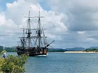
Coincidentally, when Captain James Cook passed the area on 12 May 1770, he also named the mountains Three Brothers, since "these Hills bore some resemblance to each other".[9][10]
References
- "Map of Middle Brother, NSW". Bonzle Digital Atlas of Australia. Retrieved 15 October 2013.
- "Middle Brother". Geographical Names Register (GNR) of NSW. Geographical Names Board of New South Wales. Retrieved 15 October 2013.

- "Map of North Brother, NSW". Bonzle Digital Atlas of Australia. Retrieved 15 October 2013.
- "North Brother". Geographical Names Register (GNR) of NSW. Geographical Names Board of New South Wales. Retrieved 15 October 2013.

- "Map of South Brother, NSW". Bonzle Digital Atlas of Australia. Retrieved 15 October 2013.
- "South Brother". Geographical Names Register (GNR) of NSW. Geographical Names Board of New South Wales. Retrieved 15 October 2013.

- "Licence Area Plan: Taree (Radio)". Attorney General's Department, Australia. October 1998. Retrieved 11 July 2008.
- "Dooragan National Park: Culture & history". NSW National Parks & Wildlife Service. Government of New South Wales. Archived from the original on 30 September 2007. Retrieved 15 October 2013.
- "Dooragan National Park". New South Wales Department of Environment & Climate Change. 25 April 2006. Retrieved 11 July 2008.
