27th parallel north

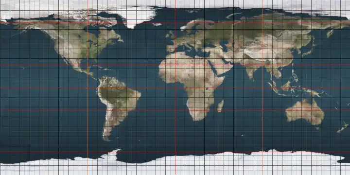
The 27th parallel north is a circle of latitude that is 27 degrees north of the Earth's equatorial plane. It crosses Africa, Asia, the Pacific Ocean, North America and the Atlantic Ocean.

27°
27th parallel north

At this latitude the sun is visible for 13 hours, 51 minutes during the summer solstice and 10 hours, 26 minutes during the winter solstice.[1]

Around the world

Starting at the Prime Meridian and heading eastwards, the parallel 27° north passes through:

Co-ordinates Country, territory or sea Notes
27°0′N 0°0′E  Algeria
27°0′N 9°50′E  Libya
27°0′N 25°0′E  Egypt
27°0′N 33°54′E Red Sea
27°0′N 35°55′E  Saudi Arabia
27°0′N 49°40′E Persian Gulf Passing just north of Lavan Island,  Iran
27°0′N 53°21′E  Iran
27°0′N 55°48′E Persian Gulf Passing just north of Qeshm island,  Iran
Passing just south of Hormuz Island,  Iran
27°0′N 56°54′E  Iran
27°0′N 63°15′E  Pakistan Balochistan
Sindh
27°0′N 69°31′E  India Rajasthan
Uttar Pradesh
Bihar
27°0′N 84°51′E    Nepal
27°0′N 88°6′E  India West Bengal
27°0′N 88°52′E  Bhutan
27°0′N 92°5′E  India Arunachal Pradesh - claimed by  People's Republic of China
Assam
Arunachal Pradesh
27°0′N 95°48′E  Myanmar (Burma)
27°0′N 98°44′E  People's Republic of China Yunnan
Sichuan
Yunnan
Guizhou
Hunan (for about 4 km)
Guizhou
Hunan - passing just north of Hengyang
Jiangxi - passing just south of Ji'an
Fujian
27°0′N 120°16′E East China Sea
27°0′N 127°56′E  Japan Iheya island
27°0′N 127°56′E Pacific Ocean Passing just north of Okinawa Island,  Japan
Passing just south of Yoronjima,  Japan
Passing just south of Chichi-jima,  Japan
27°0′N 114°2′W  Mexico Baja California peninsula
27°0′N 112°1′W Gulf of California
27°0′N 109°57′W  Mexico Passing just south of Navojoa and just north of Monclova
27°0′N 99°24′W  United States Texas - mainland and Padre Island
27°0′N 97°23′W Gulf of Mexico
27°0′N 82°25′W  United States Florida - Passing through Port Charlotte and Hobe Sound
27°0′N 80°5′W Atlantic Ocean
27°0′N 78°13′W  Bahamas Great Sale Cay
27°0′N 78°12′W Atlantic Ocean Passing between the Fish Cays and the Pensacola Cays,  Bahamas
27°0′N 13°27′W Western Sahara Claimed by  Morocco
27°0′N 8°40′W  Mauritania
27°0′N 8°9′W  Algeria

See also

References

This article is issued from Wikipedia. The text is licensed under Creative Commons - Attribution - Sharealike. Additional terms may apply for the media files.