Abagadasset River
The Abagadasset River is a 16.0-mile-long (25.7 km)[5] river in Richmond and Bowdoinham, Maine, flowing into Merrymeeting Bay, part of the estuary of the Kennebec River.
| Abagadasset River Tributary to Kennebec River | |
|---|---|
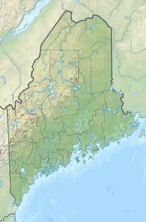 Location of Abagadasset River mouth  Abagadasset River (the United States) | |
| Location | |
| Country | United States |
| State | Maine |
| County | Kennebec Sagadahoc |
| Physical characteristics | |
| Source | Cobbosseecontee Stream divide |
| • location | about 0.1 miles south of Libby Hill, Maine |
| • coordinates | 44°09′31″N 069°50′31″W[1] |
| • elevation | 280 ft (85 m)[2] |
| Mouth | Kennebec River |
• location | aboout 1.5 miles west of Chops Crossroads, Maine at Merrymeeting Bay |
• coordinates | 44°00′35″N 069°51′06″W[1] |
• elevation | 0 ft (0 m)[2] |
| Length | 13.52 mi (21.76 km)[3] |
| Basin size | 20.86 square miles (54.0 km2)[4] |
| Discharge | |
| • location | Kennebec River |
| • average | 38.20 cu ft/s (1.082 m3/s) at mouth with Kennebec River[4] |
| Basin features | |
| Progression | generally south |
| River system | Kennebec River |
| Tributaries | |
| • left | Baker Brook |
| Bridges | I-295, Beedle Road, Alexander Reed Road, Langdon Road, ME 197, Carding Machine Road, ME 24, Browns Point Road |
See also
Maps
.gif)
Course of Abagadasset River (Kennebec River tributary)
.gif)
Watershed of Abagadasset River (Kennebec River tributary)
References
- "GNIS Detail - Abagadasset River". geonames.usgs.gov. US Geological Survey. Retrieved 11 March 2020.
- "Abagadasset River Topo Map, Sagadahoc County ME (Richmond Area)". TopoZone. Locality, LLC. Retrieved 11 March 2020.
- "ArcGIS Web Application". epa.maps.arcgis.com. US EPA. Retrieved 11 March 2020.
- "Abagadasset River Watershed Report". Waters Geoviewer. US EPA. Retrieved 11 March 2020.
- U.S. Geological Survey. National Hydrography Dataset high-resolution flowline data. The National Map Archived 2012-04-05 at WebCite, accessed June 30, 2011
- "Abagadasset River". Geographic Names Information System. United States Geological Survey. 30 September 1980. Retrieved 2009-08-02.
- Maine Streamflow Data from the USGS
- Maine Watershed Data From Environmental Protection Agency
This article is issued from Wikipedia. The text is licensed under Creative Commons - Attribution - Sharealike. Additional terms may apply for the media files.