Mad River (Cold River tributary)
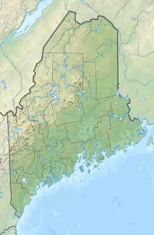
The Mad River is a 1.4-mile-long (2.3 km) mountain brook on the Maine–New Hampshire border in the United States, within the eastern White Mountains.[1] It is a tributary of the Cold River, part of the Saco River watershed.
| Mad River | |
|---|---|
   | |
| Location | |
| Country | United States |
| States | New Hampshire, Maine |
| Counties | Coos, NH, Oxford, ME |
| Townships | Bean's Purchase, NH, South Oxford, ME |
| Physical characteristics | |
| Source | West Royce Mountain |
| • location | Beans Purchase, NH |
| • coordinates | 44°18′9″N 71°0′47″W |
| • elevation | 2,450 ft (750 m) |
| Mouth | Cold River |
• location | Evans Notch, ME |
• coordinates | 44°17′7″N 71°0′16″W |
• elevation | 790 ft (240 m) |
| Length | 1.4 mi (2.3 km) |
| Basin features | |
| Tributaries | |
| • right | Middle Branch, South Branch |
The Mad River rises in New Hampshire in the col between West Royce and East Royce mountains, at an elevation of 2,500 feet (760 m) above sea level. The river quickly drops to the south down the slopes of Royce Mountain, entering Maine and dropping over Mad River Falls, a 70-foot-tall (21 m) cascade.[2] The river joins the Cold River in the floor of Evans Notch, a narrow pass through the White Mountains.
References
- New Hampshire GRANIT state geographic information system
- Werner, Philip. "Hiking a West Royce Mountain Loop". SectionHiker. Retrieved December 8, 2020.
| Bay of Fundy |
| ||||||||||||||||||||||||||||||
|---|---|---|---|---|---|---|---|---|---|---|---|---|---|---|---|---|---|---|---|---|---|---|---|---|---|---|---|---|---|---|---|
| Casco Bay |
| ||||||||||||||||||||||||||||||
| Gulf of Maine |
| ||||||||||||||||||||||||||||||
| Merrymeeting Bay |
| ||||||||||||||||||||||||||||||
| Muscongus Bay |
| ||||||||||||||||||||||||||||||
| Penobscot Bay |
| ||||||||||||||||||||||||||||||
| Saco Bay |
| ||||||||||||||||||||||||||||||
| Gulf of Maine |
| ||||||||||
|---|---|---|---|---|---|---|---|---|---|---|---|
| Long Island Sound |
| ||||||||||
This article is issued from Wikipedia. The text is licensed under Creative Commons - Attribution - Sharealike. Additional terms may apply for the media files.