Bayanan, Muntinlupa
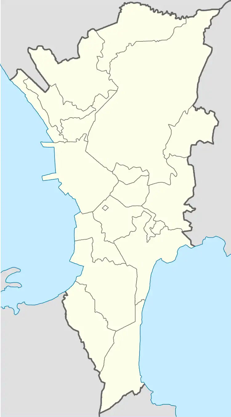
Bayanan is a barangay in the Muntinlupa, Philippines.[2][3] The total land area of the barangay is 0.784 km2 which is the second smallest land area in the city. It has a population of 35,392.
Bayanan | |
|---|---|
 Barangay Bayanan Market | |
 Bayanan | |
| Coordinates: 14°24′28.07″N 121°2′59.9″E | |
| Country | Philippines |
| Region | National Capital Region |
| City | Muntinlupa |
| District | 1st Legislative district of Muntinlupa |
| Government | |
| • Type | Barangay |
| • Barangay Captain | Ador San Pedro |
| Area | |
| • Total | 0.784 km2 (0.303 sq mi) |
| Population (2010) | |
| • Total | 35,392[1] |
| Time zone | UTC+8 (PST) |
| Postal Code | 1772 |
| Area code(s) | 02 |
Bayanan is located south of Manila. It is bounded on the north by the Muntinlupa Barangay of Alabang, on the south by the Muntinlupa barangay of Putatan, and on the east by the Laguna de Bay.

Subdivisions
While barangays are the administrative divisions of the city, and are legally part of the addresses of establishments and homes, residents also include their subdivision. Listed below are subdivisions in this barangay.[4]
- Almanville Subdivision
- Pleasant Homes Subdivision
- Filrizan Subdivision
- Summit Circle
- Summit Homes
- Sunrise Subdivision
References
- "Population Counts - National Capital Region" (PDF). 2010 Census and Housing Population. National Statistics Office. Retrieved 2015-08-21.
- "Brgy. Bayanan – City Government of Muntinlupa". muntinlupacity.gov.ph. Philippines: Government of the Philippines. Retrieved 2019-01-06.
- News, Maan Macapagal, ABS-CBN. "Cop nabbed for allegedly operating illegal cockfights in Muntinlupa". ABS-CBN News. ABS-CBN Corporation. Retrieved 2019-01-06.
- "LIST OF SUBDIVISION IN THE CITY OF MUNTINLUPA". Archived from the original on 2016-01-14.
External links
This article is issued from Wikipedia. The text is licensed under Creative Commons - Attribution - Sharealike. Additional terms may apply for the media files.