San Antonio, Parañaque
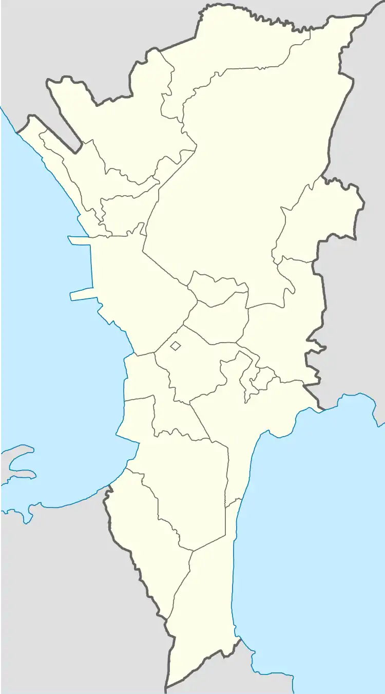
San Antonio is an administrative division in southern Metro Manila, the Philippines. It is a collection of sixteen gated communities on the east side of Parañaque abutting the city of Muntinlupa, and the informal settlements surrounding them.[1] The barangay is a long strip along the north side of Dr. Santos Avenue stretching from South Luzon Expressway to just west of San Antonio Avenue by the Jaka Plaza commercial center. It is bordered by Marcelo Green to the north, the Muntinlupa village of Sucat across the expressway to the east, BF Homes Parañaque across Dr. Santos Avenue to the south, and San Isidro and Moonwalk to the west. It extends to the northwest along San Antonio Avenue and also shares a border with Don Bosco further north and northwest. The village is part of the Parañaque 2nd district.
San Antonio | |
|---|---|
 The Parañaque City Hall in San Antonio | |
 San Antonio | |
| Coordinates: 14°27′56″N 121°1′52″E | |
| Country | |
| Region | Metro Manila |
| City | Parañaque |
| Congressional districts | Part of the 2nd district of Parañaque |
| Government | |
| • Barangay Chairman | Leopoldo C. Casale |
| Area | |
| • Total | 2.8719 km2 (1.1088 sq mi) |
| Population (2015) | |
| • Total | 67,401 |
| • Density | 23,000/km2 (61,000/sq mi) |
| ZIP code | 1715/1707 |
| Area code(s) | 2 |
San Antonio is the city's administrative center, being the location of the Parañaque City Hall.[2] It is the most populous of the four barangays in Metro Manila bearing the name San Antonio.[3][4][5] In 2016, the village also recorded the highest number of informal settlers in Parañaque with 2,661 households illegally occupying properties in the village, and 607 households living in makeshift houses.[6] As of the 2015 census, San Antonio had a population of 67,401.[7]
History

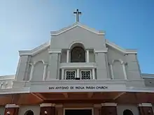
The village was founded in 1978 as a result of real estate development and changing demographics happening across the Manila region in the decades following World War II. The multiplication of barangays was also aided by a national government program for economic acceleration through the creation of more administrative divisions during the term of President Ferdinand Marcos. The contiguous gated communities of San Antonio Valley (except Phase 2, 6, 12 and 15), Barangay Village, Fourth Estate, and Mon El Subdivision were separated from San Dionisio on May 1, 1978 through Presidential Decree No. 1329.[8] It was named after its largest component village (San Antonio Valley Phase 1) where the Roman Catholic Archdiocese of Manila established the San Antonio de Padua Parish Church in 1970, with Saint Anthony of Padua as its patron.[9]
In 1963, President Diosdado Macapagal and First Lady Eva Macapagal laid the cornerstone for the ₱1 million Parañaque Municipal Hall in San Antonio (then part of San Dionisio) during a ceremony hosted by then Mayor Eleuterio de Leon.[10] The building was completed years later during the term of Mayor Florencio Bernabe Sr. and eventually replaced the old Casa Tribunal in La Huerta. The San Antonio complex added a legislative and judiciary building in 2015.[11]
Education
Several educational institutions are located in San Antonio. They include:
- Agape Young Achievers' Christian Academy
- Fourth Estate Elementary School
- International Christian Academy
- LH Montessori High
- Parish Learning Center San Antonio de Padua
- San Antonio Elementary School
- San Antonio National High School
- United Christian Academy
- UP South School
Transportation


San Antonio's road network consists of three national roads as of 2017.[12] The South Luzon Expressway and elevated Skyway form the village's eastern boundary where the West Service Road, a national tertiary road, runs along a short 600-meter (2,000 ft) stretch of its territory giving access to a few industrial and logistics facilities. Dr. Santos Avenue is a national primary road which starts at the village's southeast corner and travels the whole 3-kilometer (1.9 mi) stretch of its boundary line with BF Homes. The San Antonio side of the avenue is lined with several retail stores including Jaka Plaza, Shopwise Sucat,the Santa Grove strip mall which also houses a Teleperformance Philippines branch,[13] and Amaia Steps, a condominium with a retail podium.[14] It is also the main access road to the different gated communities as well as a few slum areas in between those communities. The Elorde Sports Center, a popular boxing venue and the oldest in the chain of boxing gyms in the country owned by the family of Gabriel Elorde, has stood on the 3-hectare (7.4-acre) site across from the Manila Memorial Park and adjacent to Fourth Estate Subdivision on Dr. Santos Avenue since 1974.[15]
San Antonio Avenue is the main north-south thoroughfare of the barangay situated on the western side by the Jaka Plaza. This local road not only provides access to the Parañaque City Hall, the San Antonio de Padua Parish Church and San Antonio Valley Wet Market, it also serves to connect the communities of San Antonio and Don Bosco and as an alternate route between Dr. Santos Avenue and Doña Soledad Avenue, through a maze of narrow residential streets in San Antonio Valley and Better Living Subdivision.
Public transportation in San Antonio consists primarily of jeepneys and UV Express along Dr. Santos Avenue and West Service Road, and city buses along South Luzon Expressway. The village is also served by the Sucat railway station in the adjacent village of Sucat. Tricycles are the main mode of transportation in the gated villages and inner streets like San Antonio Avenue in San Antonio Valley, which is typical of villages in Metro Manila.
References
- "District II - Barangay San Antonio". City Government of Parañaque. Retrieved 26 April 2019.
- Macabenta, Greg (20 December 2017). "An opportunity to modernize Parañaque". BusinessWorld. Retrieved 26 April 2019.
- "Quezon City - Code:137404000". Philippine Statistics Authority. Retrieved 26 April 2019.
- "City of Pasig - Code:137403000". Philippine Statistics Authority. Retrieved 26 April 2019.
- "City of Makati - Code:137602000". Philippine Statistics Authority. Retrieved 26 April 2019.
- "The Many Faces of Poverty Vol. 8" (PDF). PEP-CBMS Network Office. Retrieved 26 April 2019.
- "City of Parañaque - Code:137604000". Philippine Statistics Authority. Retrieved 26 April 2019.
- "Creating Barangay San Antonio in the Municipality of Parañaque, Metro Manila". The Corpus Juris. Retrieved 26 April 2019.
- "San Antonio de Padua Parish (1970)". Roman Catholic Diocese of Parañaque. Retrieved 26 April 2019.
- "Official Week in Review: March 31 – April 6, 1963". Official Gazette (Philippines). Retrieved 26 April 2019.
- "Inauguration And Blessing of New Legislative Judiciary Building, Paranaque City Hall, Paranaque City - February 12 ,2015". Metropolitan Manila Development Authority. Retrieved 26 April 2019.
- "2017 Road Data: National Capital Region". Department of Public Works and Highways. Retrieved 26 April 2019.
- "over 6,500 new employees in Q4". Newsbytes Philippines. 19 September 2017. Retrieved 26 April 2019.
- "Bringing communities together at Amaia". Philippine Daily Inquirer. 24 June 2017. Retrieved 26 April 2019.
- Siasat, JM (25 April 2014). "Cucuy Elorde preserves father's boxing legacy". Rappler. Retrieved 26 April 2019.