Tunasan
Tunasan is a barangay in Muntinlupa, Philippines. It is the southernmost barangay of Metro Manila located in the southern section of the city bordering the province of Laguna. The total land area of the barangay is 9.596 km2, largest in the city. According to the 2010 census, it has a population of 51,033.
Tunasan | |
|---|---|
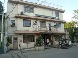 Barangay Hall of Tunasan | |
 Tunasan | |
| Coordinates: 14°22′21.16″N 121°2′10.96″E | |
| Country | Philippines |
| Region | National Capital Region |
| City | Muntinlupa |
| District | 1st Legislative district of Muntinlupa |
| Established | June 28, 1964 |
| Government | |
| • Type | Barangay |
| • Barangay Captain | Walter Arcilla |
| • SK Chairperson | Seth Laureta |
| Area | |
| • Total | 9.596 km2 (3.705 sq mi) |
| Population (2010) | |
| • Total | 51,033[1] |
| Time zone | UTC+8 (PST) |
| Postal Code | 1773 |
| Area code(s) | 02 |
| Range | Marikina Valley Fault Ridge |
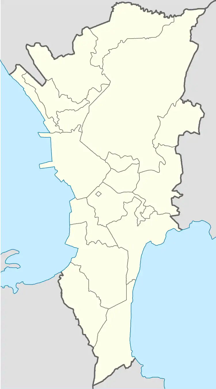
Tunasan is located 27 kilometers south of the City of Manila. It is bounded by Poblacion, Muntinlupa on the north, the Laguna de Bay on the east, the San Pedro barangays of San Antonio and Cuyab on the south; and the Bacoor barangay of Molino IV, province of Cavite, on the west.
History
Tunasan got its name from a medicinal plant locally called tunas (Nymphaea nouchali) which was abundant on the Tunasan river and the shoreline of Laguna de Bay. It was called "Tunasancillo" during the Spanish colonial period, and it was a barrio and also a part of the vast hacienda owned by the Augustinian Recollects in the pueblo or town of San Pedro Tunasan in the province of La Laguna.[2] Eventually, it became part of the Municipio of Muntinlupa which was a part of the province of Manila when the town of San Pedro Tunasan sold it in 1907 during the American period.[3] After the separation, the town of San Pedro Tunasan simply changed its name to San Pedro and the sold barangay of Tunasancillo was called Tunasan.
Subdivisions
While barangays are the administrative divisions of the city, and are legally part of the addresses of establishments and homes, residents also include their subdivision. Listed below are subdivisions in this barangay.[4]
- Abbey Place
- Aguila Village
- Brazilia Heights Subdivision
- Camella Homes 3
- Camella Homes Ridgeview I Subdivision
- Camella Homes Ridgeview II Subdivision
- JPA Subdivision
- Lake Shore Subdivision
- Lindenwood Residences
- Lodora Subdivision
- Midland II Subdivision
- Parkhomes Subdivision
- Sto. Niño Village
- Susana Heights Subdivision
- Teosejo Industrial Complex
- Teosejo Subdivision
- Victoria Homes Subdivision
- Villa Carolina I
- Villa Carolina II
Laguerta Compound
SM Development Corporation donated an 8,348-square metre property in Laguerta, Barangay Tunasan for residential use .[5] Several government offices and buildings are also planned in this area.[6]
- Department of Education - Muntinlupa
- Tunasan High School
- Muntinlupa City Health Office
- Muntinlupa City Police headquarters
Tunasan Baywalk

The Tunasan Baywalk is a reclaimed area behind the Muntinlupa Science High School where the Muntinlupa Sports Complex is located.
See also
References
- "Population Counts - National Capital Region" (PDF). 2010 Census and Housing Population. National Statistics Office. Retrieved 2015-08-21.
- Buzeta, Manuel (1831). Diccionario geografico, estadistico, historico de las islas Filipinas. p. 464.
- Cruz-Araneta, Gemma (October 20, 2008). "Part of History". With One's Past. Retrieved February 28, 2016.
- "LIST OF SUBDIVISION IN THE CITY OF MUNTINLUPA". Archived from the original on 2016-01-14.
- Gamil, Jaymee. "Low-cost homes set for Muntinlupa gov't workers, squatters". Inquirer.net.
- Hicap, Jonathan. "Earthquake-proof, self sustaining city government building rises in Muntinlupa". Manila Bulletin. Retrieved August 24, 2015.
