Sucat, Muntinlupa
Sucat is a barangay in the Muntinlupa, Philippines.[2] The total land area of the barangay is 2.623 km2. It has a population of 46,964. It is located in the Northernmost section of the city. It is bounded on the north by barangay Bagumbayan, Taguig, on the south by the Sucat River and barangay of Buli, Muntinlupa, on the west by San Martin de Porres, Parañaque, and on the east by the Laguna de Bay.
Sucat | |
|---|---|
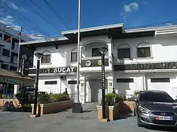 Barangay Hall of Sucat | |
 Sucat | |
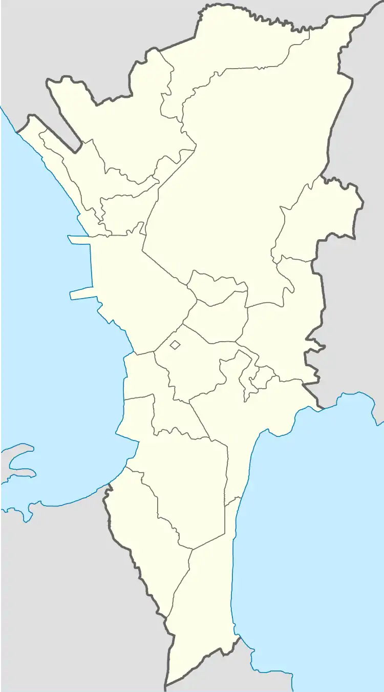
| Coordinates: 14°27′36″N 121°2′59.9″E | |
| Country | Philippines |
| Region | National Capital Region |
| City | Muntinlupa |
| District | 2nd Legislative district of Muntinlupa |
| Government | |
| • Type | Barangay |
| • Barangay Captain | Raffy Sevilla |
| Area | |
| • Total | 2.623 km2 (1.013 sq mi) |
| Population (2010) | |
| • Total | 46,964[1] |
| Time zone | UTC+8 (PST) |
| Postal Code | 1781 |
| Area code(s) | 02 |
History
Sucat got its name from the vernacular word “sukat” which means “measurement”.
Subdivisions
While barangays are the administrative divisions of the city, and are legally part of the addresses of establishments and homes, residents also include their subdivision. Listed below are subdivisions in this barangay.[3]
- Augusto Posadas Village
- Lakefront (La Posada, Marina Heights, Presidio and The Marfori)
- Corinthian Villas
- Don Juan Bayview Subdivsion
- Dona Rosario Heights Subdivision
- Dona Rosario Bayview
- Patio Homes
See also
- Muntinlupa
- Sucat People's Park
- Sucat Thermal Power Plant
- Sucat railway station
- Dr. A. Santos Avenue
- Sucat River
- Colegio de Muntinlupa
References
- "Population Counts - National Capital Region" (PDF). 2010 Census and Housing Population. National Statistics Office. Retrieved 2015-08-21.
- "Brgy. Sucat – City Government of Muntinlupa". Philippines: Government of the Philippines. Retrieved 2019-01-13.
- "LIST OF SUBDIVISION IN THE CITY OF MUNTINLUPA". Archived from the original on 2016-01-14.
External links
This article is issued from Wikipedia. The text is licensed under Creative Commons - Attribution - Sharealike. Additional terms may apply for the media files.