Mount Saramati
Saramati (Burmese: စာရာမေတိတောင်; IPA: [ˌsæɹəˈmɑːti]) is a peak rising above the surrounding peaks at the mountainous border of Nagaland state, India and the Naga Self-Administered Zone, Burma. It is located near Thanamir Village in the Kiphire district of Nagaland.
| Saramati | |
|---|---|
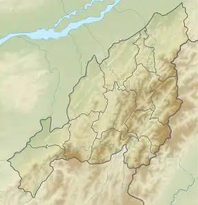 Saramati Location in Nagaland, India near the border with Burma 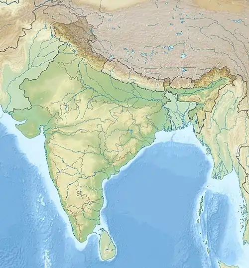 Saramati Saramati (India) 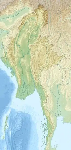 Saramati Saramati (Myanmar) | |
| Highest point | |
| Elevation | 3,826 m (12,552 ft) [1] |
| Prominence | 2,885 m (9,465 ft) [1] Ranked 113th |
| Isolation | 270 km (170 mi) |
| Listing | Ultra List of Indian states and territories by highest point |
| Coordinates | 25°44′24″N 95°2′15″E [1] |
| Geography | |
| Location | Burma–India border |
| Parent range | Purvanchal Range[2] |
| Climbing | |
| First ascent | unknown |
With a height of 3,826 metres (12,552 ft) and a prominence of 2,885 metres (9,465 ft), Saramati is one of the ultra-prominent peaks of Southeast Asia.[3]
References
- "Burma and Eastern India - 19 Mountain Summits with Prominence of 1,500 meters or greater". Peaklist.org. Retrieved 29 December 2011.
- The new encyclopaedia Britannica
- "Saramati, Myanmar/India". Peakbagger.com. Retrieved 29 August 2014.
External links
| State symbols | |
|---|---|
| Governance | |
| Topics | |
| Divisions |
|
| Districts | |
| Main cities and towns | |
This article is issued from Wikipedia. The text is licensed under Creative Commons - Attribution - Sharealike. Additional terms may apply for the media files.
