Mullayana Giri
Mullayanagiri is the highest peak in Karnataka, India. Mullayyanagiri is located at 13°23′26″N 75°43′18″E in the Chandra Dhrona Hill Ranges of the Western Ghats of Chikkamagaluru Taluk. With a height of 1,930 metres (6,330 ft),[1] it is the highest peak in Karnataka. The summit of Mullayanagiri houses a police radio relay station. Seethalayyanagiri is a prominent peak which is adjacent to this place.
| Mullayanagiri | |
|---|---|
| Melgadduge | |
 Mullayyanagiri Peak | |
| Highest point | |
| Elevation | 1,925 m (6,316 ft) |
| Listing | List of Indian states and territories by highest point |
| Coordinates | 13°23′27.5″N 75°43′17″E |
| Geography | |
 Mullayanagiri Location of Karnataka | |
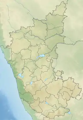
| Location | Chikkamagaluru, Karnataka, India |
| Parent range | Baba Budan Giri Range |
| Geology | |
| Age of rock | 35 |
Temple
The peak gets its name from a small temple (gadduge/tomb) at the summit, which is dedicated to a sage "Mulappa swamy" who is believed to have meditated at the caves only a couple of feet below the summit. The caves are accessible and not very deep, they have a direct entrance to the garbagudi of the temple, which is now blocked by the temple priests. Apart from multiple versions of folklore and strong Siddha culture around the belt, the origins or any information about the deity remains ambiguous. Mullai refers to forest in Old Kannada language.
Trekking
Previously, when the present asphalt roads and the 464 stone and concrete steps were not present, a trail was used to reach the peak, known as 'Sarpadari' or 'Sarpanadi'. Although it is not very frequently visited now, this trail is cherished by trekkers.
 On the way to Mullayanagiri
 Mullaiyangiri hills
See also
References
- "District : Chickmagalur State : Karnataka". National Informatics Centre.
External links
| Wikimedia Commons has media related to Mullayanagiri. |