Razac-sur-l'Isle
Razac-sur-l'Isle is a commune in the Dordogne department in Nouvelle-Aquitaine in southwestern France.
Razac-sur-l'Isle | |
|---|---|
 Train station | |
.svg.png.webp) Coat of arms | |
Location of Razac-sur-l'Isle 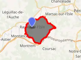
| |
 Razac-sur-l'Isle  Razac-sur-l'Isle | |
| Coordinates: 45°09′53″N 0°36′02″E | |
| Country | France |
| Region | Nouvelle-Aquitaine |
| Department | Dordogne |
| Arrondissement | Périgueux |
| Canton | Coulounieix-Chamiers |
| Government | |
| • Mayor (2008–2014) | Jean-Guy Nasseys |
| Area 1 | 14.24 km2 (5.50 sq mi) |
| Population (2017-01-01)[1] | 2,395 |
| • Density | 170/km2 (440/sq mi) |
| Time zone | UTC+01:00 (CET) |
| • Summer (DST) | UTC+02:00 (CEST) |
| INSEE/Postal code | 24350 /24430 |
| Elevation | 69–203 m (226–666 ft) (avg. 75 m or 246 ft) |
| 1 French Land Register data, which excludes lakes, ponds, glaciers > 1 km2 (0.386 sq mi or 247 acres) and river estuaries. | |
Population
|
|
See also
References
- "Populations légales 2017". INSEE. Retrieved 6 January 2020.
| Wikimedia Commons has media related to Razac-sur-l'Isle. |
| Authority control |
|---|
This article is issued from Wikipedia. The text is licensed under Creative Commons - Attribution - Sharealike. Additional terms may apply for the media files.