Tygerberg
Tygerberg is a district in the northern suburbs of Cape Town in South Africa. It is also the name of the range of hills in the area. The main Tygerberg farms were Pampoenkraal (became Durbanville), Stellenburgh (became part of Bellville), Evertsdal (today Bellville), De Grendel (today Parow), Lebenstijn (part of Bellville), Blommensteijn (incorporated into Bellville), Door de Kraal (incorporated into Bellville), Vissershok (which has no more farming as it became a quarry with mining activities) and Clara Anna Fontein.[1]
Tygerberg | |
|---|---|
 An aerial view of the Tygerberg hills and the suburbs of Panorama and Welgemoed surrounding the hill, with the N1 highway being clearly visible in this photograph. | |
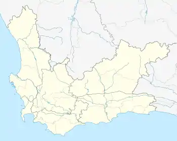
 Tygerberg  Tygerberg | |
| Coordinates: 33°51′16″S 18°35′3″E | |
| Country | South Africa |
| Province | Western Cape |
| Municipality | City of Cape Town |
| Time zone | UTC+2 (SAST) |
| PO box | 7505 |
Tygerberg is host to the Tygerberg Hospital.[2] The hospital is the centre for the Medicine and Health Sciences faculty of Stellenbosch University. (Afrikaans: Universiteit Stellenbosch)[3]
The Parow satellite campus of the German International School Cape Town, in proximity to Tygerberg, serves German-speaking students up to grade 4.[4]
See also
- Tygerberg Zoo
- Tyger Valley
References
- Malan, A. "Vernacular Architecture Society of South Africa" (PDF). Retrieved 22 May 2018.
- "Community Engagement for H3Africa Biobanking Research: The Tygerberg Model". 2017-11-17. Archived from the original on 2017-11-17. Retrieved 2018-01-05.
- http://www.sun.ac.za/english/ Web page for Stellenbosch University (English)
- "Satellite Campus in Tygerberg/Parow" (Archive). German International School Cape Town. Retrieved on August 8, 2015. Page in German (Archive).