7th parallel south

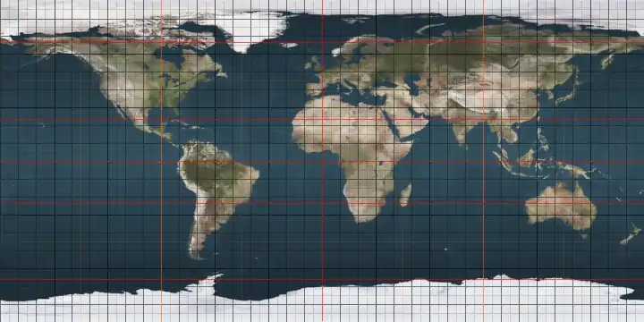
The 7th parallel south is a circle of latitude that is 7 degrees south of the Earth's equatorial plane. It crosses the Atlantic Ocean, Africa, the Indian Ocean, Southeast Asia, Australasia, the Pacific Ocean and South America.

7th parallel south

Part of the border between the Democratic Republic of the Congo and Angola is defined by the parallel.[1]

It is the most populous parallel south of the Equator, being home to between 86.1 million and 99.8 million people as of 2019.[2]

Around the world

Starting at the Prime Meridian and heading eastwards, the parallel 7° south passes through:

Co-ordinates Country, territory or sea Notes
7°0′S 0°0′E Atlantic Ocean
7°0′S 12°50′E  Angola
7°0′S 16°58′E  Democratic Republic of the Congo
7°0′S 19°32′E  Democratic Republic of the Congo /  Angola border
7°0′S 20°18′E  Angola
7°0′S 20°34′E  Democratic Republic of the Congo
7°0′S 29°44′E Lake Tanganyika
7°0′S 30°34′E  Tanzania Passing just south of Dar es Salaam
7°0′S 39°33′E Indian Ocean
7°0′S 52°44′E  Seychelles Alphonse Atoll
7°0′S 52°46′E Indian Ocean Passing just north of Coëtivy Island,  Seychelles
7°0′S 106°33′E  Indonesia Island of Java
7°0′S 112°35′E Java Sea
7°0′S 112°46′E  Indonesia Island of Madura
7°0′S 114°4′E Java Sea
7°0′S 115°16′E  Indonesia Islands of Kangean and Paliat
7°0′S 115°40′E Java Sea Passing just north of the island of Tanahjampea
7°0′S 120°37′E Banda Sea Passing just north of the island of Damar,  Indonesia
Passing between the islands of Itain and Maru,  Indonesia
7°0′S 131°58′E  Indonesia Island of Fordate
7°0′S 131°59′E Arafura Sea Passing just south of the island of Trangan,  Indonesia
7°0′S 138°37′E  Indonesia Island of New Guinea
7°0′S 141°1′E  Papua New Guinea Island of New Guinea
7°0′S 146°59′E Pacific Ocean Solomon Sea
7°0′S 155°42′E  Solomon Islands Shortland Island
7°0′S 155°46′E Pacific Ocean Passing just south of Fauro Island,  Solomon Islands
7°0′S 156°43′E  Solomon Islands Choiseul Island
7°0′S 157°6′E Pacific Ocean Passing between the atolls of Nanumea and Nanumanga,  Tuvalu
Passing just north of Niutao island,  Tuvalu
Passing south of Starbuck Island,  Kiribati
7°0′S 79°47′W  Peru
7°0′S 73°46′W  Brazil Amazonas, Pará, Tocantins, Maranhão, Piauí, Ceará, Paraíba - passing 6.5 km north of João Pessoa at the mouth of the Paraíba River
7°0′S 34°49′W Atlantic Ocean

See also

References

  1. Brownlie, Ian (1979). African Boundaries: A Legal and Diplomatic Encyclopedia. Institute for International Affairs, Hurst and Co. pp. 489–514.
  2. "World Population Distribution by Latitude and Longitude". Engaging Data. 2019-03-18. Retrieved 2020-08-05.
This article is issued from Wikipedia. The text is licensed under Creative Commons - Attribution - Sharealike. Additional terms may apply for the media files.