Al-Nabi Rubin, Acre
Al-Nabi Rubin (Arabic: النبي روبين), was a Palestinian village located 28 kilometers northeast of Acre. Al-Nabi Rubin students used to attend school in the nearby village of Tarbikha.
al-Nabi Rubin
النبي روبين an-Nabi Rubin, Neby Rubin | |
|---|---|
| Etymology: The prophet Rubin[1] | |
.jpg.webp) 1870s map 1870s map .jpg.webp) 1940s map 1940s map.jpg.webp) modern map modern map .jpg.webp) 1940s with modern overlay map 1940s with modern overlay mapA series of historical maps of the area around Al-Nabi Rubin, Acre (click the buttons) | |
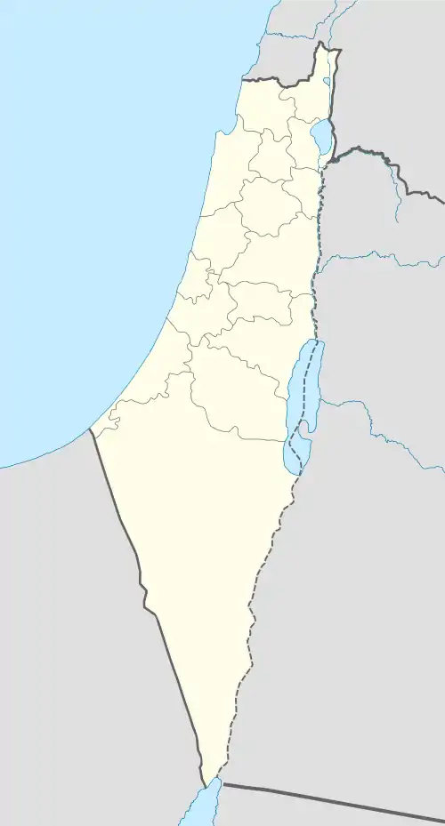 al-Nabi Rubin Location within Mandatory Palestine | |
| Coordinates: 33°04′49″N 35°17′29″E | |
| Palestine grid | 177/276 |
| Geopolitical entity | Mandatory Palestine |
| Subdistrict | Acre |
| Date of depopulation | early November 1948[2] |
| Area | |
| • Total | 18,563 dunams (18.6 km2 or 7.2 sq mi) |
| Population (1945) | |
| • Total | 1,000 with Tarbikha and Suruh[3][4] |
| Cause(s) of depopulation | Expulsion by Yishuv forces |
| Current Localities | Shomera, Even Menachem, Zar'it, Shtula |
History
Ottoman era
In 1881, the PEF's Survey of Western Palestine (SWP) described Al-Nabi Rubin: This is a small village round the tomb of the Neby, containing about ninety Moslems, it is situated on a prominent top, and surrounded by many olives, a few figs and arable land; there are two cisterns and a birket near.[5]
British rule
In the 1945 statistics the population Tarbikha, Suruh and Al-Nabi Rubin together was 1000 Muslims according to an official land and population survey,[3][4] all were Muslims,[6] and they had a total of 18,563 dunams of land.[4] 619 dunams were plantations and irrigable land, 3,204 used for cereals,[7] while 112 dunams were built-up (urban) land.[8]
Israeli period

The village was captured by Israel as a result of the Haganah's offensive, Operation Hiram during the 1948 Arab-Israeli War and was mostly destroyed with the exception of its shrine. Al-Nabi Rubin inhabitants were expelled to Lebanon in two waves, the aged and infirm were the last to depart when the IDF trucked them to the Lebanese border.[9]
A shrine thought to be dedicated to the prophet Rubin is the only original structure that remains on former village's lands.[10]
References
- Palmer, 1881, p. 53
- Morris, 2004, p. xvii, village #68. Also gives cause of depopulation.
- Department of Statistics, 1945, p. 5
- Government of Palestine, Department of Statistics. Village Statistics, April, 1945. Quoted in Hadawi, 1970, p. 41
- Conder and Kitchener, 1881, SWP I, p. 149.
- Village Statistics The Palestine Government, April 1945 Archived 2012-06-09 at the Wayback Machine, p. 3
- Government of Palestine, Department of Statistics. Village Statistics, April, 1945. Quoted in Hadawi, 1970, p. 81
- Government of Palestine, Department of Statistics. Village Statistics, April, 1945. Quoted in Hadawi, 1970, p. 131
- Morris, 2004, pp. 506-507
- Khalidi, 1992, p. 27
Bibliography
- Conder, C.R.; Kitchener, H.H. (1881). The Survey of Western Palestine: Memoirs of the Topography, Orography, Hydrography, and Archaeology. 1. London: Committee of the Palestine Exploration Fund.
- Department of Statistics (1945). Village Statistics, April, 1945. Government of Palestine.
- Hadawi, S. (1970). Village Statistics of 1945: A Classification of Land and Area ownership in Palestine. Palestine Liberation Organization Research Center. Archived from the original on 2018-12-08. Retrieved 2009-11-13.
- Khalidi, W. (1992). All That Remains: The Palestinian Villages Occupied and Depopulated by Israel in 1948. Washington D.C.: Institute for Palestine Studies. ISBN 0-88728-224-5.
- Morris, B. (2004). The Birth of the Palestinian Refugee Problem Revisited. Cambridge University Press. ISBN 978-0-521-00967-6.
- Palmer, E.H. (1881). The Survey of Western Palestine: Arabic and English Name Lists Collected During the Survey by Lieutenants Conder and Kitchener, R. E. Transliterated and Explained by E.H. Palmer. Committee of the Palestine Exploration Fund.
External links
- Welcome To al-Nabi Rubin
- al-Nabi Rubin (Aka), Zochrot
- Survey of Western Palestine, Map 3: IAA, Wikimedia commons
- Al-Nabi Rubin at Khalil Sakakini Cultural Center
