Umm Kalkha
Umm Kalkha was a small Palestinian village in the Ramle Subdistrict of Mandatory Palestine. It was depopulated during the 1947–48 Civil War in Mandatory Palestine on April 7, 1948 during Operation Nachshon. It was located 12.5 km south of Ramla, situated on the northern banks of Wadi al-Sarar.
Umm Kalkha
اُم كلخة | |
|---|---|
| Etymology: Khurbet Umm Kelkhah; The ruin of kelkha (a plant like fennel) [1] | |
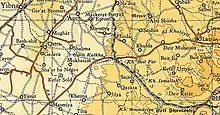
.jpg.webp) 1870s map 1870s map .jpg.webp) 1940s map 1940s map.jpg.webp) modern map modern map .jpg.webp) 1940s with modern overlay map 1940s with modern overlay mapA series of historical maps of the area around Umm Kalkha (click the buttons) | |
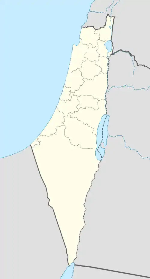
 Umm Kalkha Location within Mandatory Palestine | |
| Coordinates: 31°48′51″N 34°51′57″E | |
| Palestine grid | 137/135 |
| Geopolitical entity | Mandatory Palestine |
| Subdistrict | Ramle |
| Date of depopulation | April 7, 1948 |
| Population (1945) | |
| • Total | 60[2][3] |
| Current Localities | Yesodot[4][5] |
History
In 1838, Um Kelkha was noted as a place "in ruins or deserted."[6]
In 1882, the PEF's Survey of Western Palestine (SWP) noted: "There are traces here of an old town, caves, cisterns of rubble, masonry, and pottery fragments."[7]
British Mandate era
In the 1922 census of Palestine, conducted by the British Mandate authorities, Umm Kalka had a population of 1 Muslim,[8] increasing sharply in the 1931 census 24 Muslims, in 6 houses.[9]
In the 1945 statistics the population was 60, all Muslims,[2] while the total land area was 1,405 dunams, according to an official land and population survey.[3] Of this, 21 dunums of land were used for citrus and bananas, 93 dunums were plantations or irrigated land, 1,119 were for cereals, [10] while a total of 63 dunams were classified as non-cultivable areas.[11]


References
- Palmer, 1881, p. 271
- Department of Statistics, 1945, p. 30
- Government of Palestine, Department of Statistics. Village Statistics, April, 1945. Quoted in Hadawi, 1970, p. 68
- Morris, 2004, p. xx, settlement #14.
- Khalidi, 1992, p. 419
- Robinson and Smith, 1841, vol 3, Appendix 2, p. 119
- Conder and Kitchener, 1882, SWP II, p. 426
- Barron, 1923, Table VII, Sub-district of Ramle, p. 21
- Mills, 1932, p. 24
- Government of Palestine, Department of Statistics. Village Statistics, April, 1945. Quoted in Hadawi, 1970, p. 117.
- Government of Palestine, Department of Statistics. Village Statistics, April, 1945. Quoted in Hadawi, 1970, p. 167
Bibliography
- Barron, J. B., ed. (1923). Palestine: Report and General Abstracts of the Census of 1922. Government of Palestine.
- Conder, C.R.; Kitchener, H.H. (1882). The Survey of Western Palestine: Memoirs of the Topography, Orography, Hydrography, and Archaeology. 2. London: Committee of the Palestine Exploration Fund.
- Department of Statistics (1945). Village Statistics, April, 1945. Government of Palestine.
- Hadawi, S. (1970). Village Statistics of 1945: A Classification of Land and Area ownership in Palestine. Palestine Liberation Organization Research Center.
- Khalidi, W. (1992). All That Remains: The Palestinian Villages Occupied and Depopulated by Israel in 1948. Washington D.C.: Institute for Palestine Studies. ISBN 0-88728-224-5.
- Mills, E., ed. (1932). Census of Palestine 1931. Population of Villages, Towns and Administrative Areas. Jerusalem: Government of Palestine.
- Morris, B. (2004). The Birth of the Palestinian Refugee Problem Revisited. Cambridge University Press. ISBN 978-0-521-00967-6.
- Palmer, E.H. (1881). The Survey of Western Palestine: Arabic and English Name Lists Collected During the Survey by Lieutenants Conder and Kitchener, R. E. Transliterated and Explained by E.H. Palmer. Committee of the Palestine Exploration Fund.
- Robinson, E.; Smith, E. (1841). Biblical Researches in Palestine, Mount Sinai and Arabia Petraea: A Journal of Travels in the year 1838. 3. Boston: Crocker & Brewster.
External links
- Welcome To Umm Kalkha
- Umm Kalkha, Zochrot
- Survey of Western Palestine, Map 16: IAA, Wikimedia commons
- Umm Kalkha at Khalil Sakakini Cultural Center
