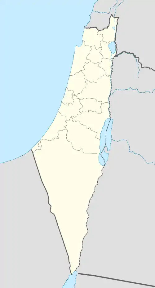
Safad Subdistrict, Mandatory Palestine
The Safad Subdistrict (Arabic: قضاء صفد, Hebrew: נפת צפת) was one of the subdistricts of Mandatory Palestine. It was located around the city of Safad. According to the 1947 Partition Plan, the Subdistrict was to lie entirely in the Jewish State. After the 1948 Arab-Israeli War, the subdistrict, which fell entirely within modern-day Israel, became the modern-day Safed Subdistrict in the Northern District (Israel).
| Safad Subdistrict قضاء صفد נפת צפת | |||||||||
|---|---|---|---|---|---|---|---|---|---|
| Subdistrict of Mandatory Palestine | |||||||||
| 1920–1948 | |||||||||
 | |||||||||
| Capital | Safad | ||||||||
| Area | |||||||||
• 1945 | 696 km2 (269 sq mi) | ||||||||
| Population | |||||||||
• 1931 | 39,713 | ||||||||
• 1945 | 53,620 | ||||||||
| History | |||||||||
• Established | 1920 | ||||||||
• Disestablished | 1948 | ||||||||
| |||||||||
| Today part of | Israel | ||||||||
Borders
- Acre Subdistrict (South West)
- Tiberias Subdistrict (South)
- Lebanon (North)
- Syria (East)
Depopulated towns and villages

Official population statistics for the sub-district, from Village Statistics, 1945.
(current localities in parentheses)
This article is issued from Wikipedia. The text is licensed under Creative Commons - Attribution - Sharealike. Additional terms may apply for the media files.
