Khirbat al-Majdal
Khirbat al-Majdal was a Palestinian Arab village in the Tulkarm Subdistrict. It was depopulated during the 1947–48 Civil War in Mandatory Palestine on March 1, 1948 under Operation Coastal Clearing. It was located 10 km northwest of Tulkarm.
Khirbat al-Majdal
خربة المجدل | |
|---|---|
Village | |
.jpg.webp) 1870s map 1870s map .jpg.webp) 1940s map 1940s map.jpg.webp) modern map modern map .jpg.webp) 1940s with modern overlay map 1940s with modern overlay mapA series of historical maps of the area around Khirbat al-Majdal (click the buttons) | |
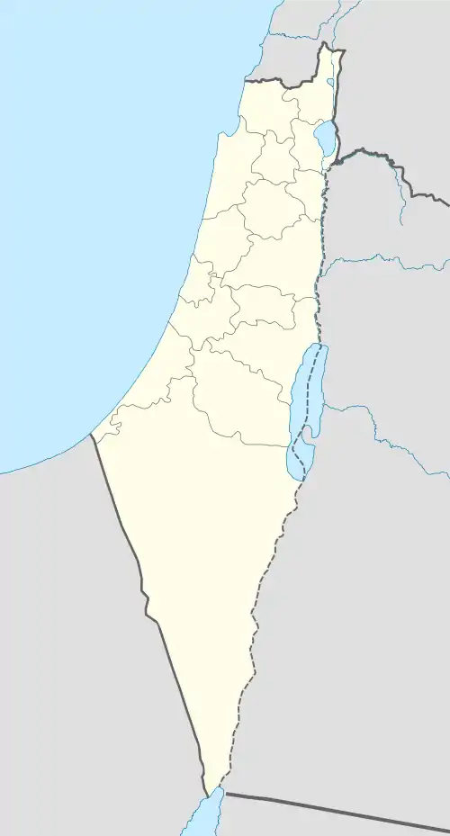 Khirbat al-Majdal Location within Mandatory Palestine | |
| Coordinates: 32°23′39″N 34°56′15″E | |
| Palestine grid | 149/201 |
| Geopolitical entity | Mandatory Palestine |
| Subdistrict | Tulkarm |
History
Khirbat al-Majdal was located on the Crusader place called Megedallum. The site had a well, around which bedouin gradually settled.[1]
The village had a shrine for a local sage known by al-Shaykh Abdallah. Today, Sde Yitzhaq is located near the village lands, but on land belonging to Raml Zayta.[2]
References
- Khalidi, 1992, p. 556
- Khalidi, 1992, p. 557
Bibliography
External links
- Welcome To Khirbat al-Majdal
- Khirbat al-Majdal, Zochrot
- Survey of Western Palestine, Map 11: IAA, Wikimedia commons
This article is issued from Wikipedia. The text is licensed under Creative Commons - Attribution - Sharealike. Additional terms may apply for the media files.