Nahrin District
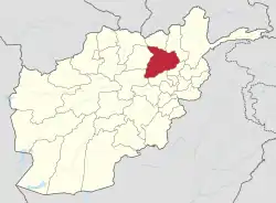
Nahrin District is a district in the central part of Baghlan Province in Afghanistan. To the west lie the major towns of Baghlan and Puli Khumri. The district centre is Nahrin. The population of the district was estimated to be around 57,509 in 2004, of which 60% are Tajiks, 35% Pashtun and 5% Uzbeks.[2]
Nahrin
نهرین | |
|---|---|
District | |
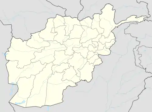 Nahrin Location within Afghanistan[1] | |
| Coordinates: 36°00′00″N 69°01′48″E | |
| Country | |
| Province | Baghlan Province |
| Population (2014) | |
| • Total | 107,509 |
2002 earthquakes
On 25 March 2002, a major earthquake shook Nahrin District, causing significant loss of life and enormous damage to infrastructure and water resources. The earthquake measured 5.9 on the Richter scale with the epicentre almost directly on Nahrin City, at the relatively shallow depth of 33 km. A second earthquake hit Nahrin on 12 April 2002.[3] More damage was brought to an already devastated area of Nahrin City, while at the same time heavily damaging several additional villages. The region also experienced three years of ruinous drought.[4]
References
- "District Names". National Democratic Institute. Archived from the original on 29 January 2016. Retrieved 16 July 2015.
- "Nahrin District profile - Aims" (PDF). Archived from the original (PDF) on 3 March 2016. Retrieved 9 November 2007.
- "Nahrin Earthquake, 2002". International Recovery Platform. Retrieved 16 July 2015.
- "Fresh Aftershocks Kill More in Afghan Quake Zone Fresh Aftershocks Kill More in Afghan Quake Zone". rense.com. Retrieved 5 December 2016.