Pashtun Kot District
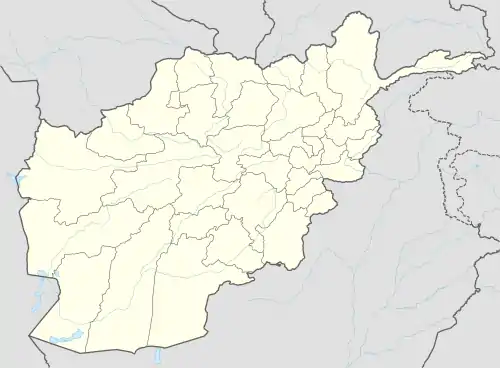
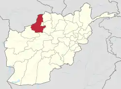
Pashtun Kot district is located in the center of Faryab Province, south of the provincial capital Maymana. The district center Pashtun Kot is a suburb of Maymana (35.91167°N 64.78667°E). The population is 277,000 (2002) with an ethnic composition of 60% Uzbeks, 15% Tajik, 20% Turkmens 10% Pashtuns and minority Arab Aimaq.[2]
Pashtun Kot
پشتون کوت | |
|---|---|
District | |
 Pashtun Kot Location within Afghanistan[1] | |
| Coordinates: 35°49′N 64°47′E | |
| Country | |
| Province | Faryab Province |
| District | Pashtun Kot |
| Elevation | 907 m (2,976 ft) |
| Population | |
| • Estimate (2002) | 277,000 |
Between 24 April and 7 May 2014, flash flooding from heavy rainfall resulted in the destruction of public facilities, roads, and agricultural land. Assessment findings reported 319 families in total were affected, six people died, 517 livestock were killed, 350 gardens were damaged/destroyed, and 524 jeribs of agricultural land was damaged/destroyed in Kata Qala, Nadir Abad, Nawe Khoshk, and Chakab.[3]
References
- "District Names". National Democratic Institute. Archived from the original on 29 January 2016. Retrieved 5 October 2015.
- "District Profile" (PDF). UNHCR. Archived from the original (PDF) on 27 October 2005. Retrieved 5 October 2015.
- "Afghanistan Flash Flood Situation Report" (PDF). International Organization for Migration. Retrieved 5 October 2015.
This article is issued from Wikipedia. The text is licensed under Creative Commons - Attribution - Sharealike. Additional terms may apply for the media files.