National Register of Historic Places listings in Cook County, Illinois
This is a list of the 128 National Register of Historic Places listings in Cook County, Illinois outside Chicago and Evanston. Separate lists are provided for the 61 listed properties and historic districts in Evanston and the more than 350 listed properties and districts in Chicago. The Chicago Sanitary and Ship Canal Historic District extends through the West Side of Chicago, DuPage County and Will County to Lockport.
- This National Park Service list is complete through NPS recent listings posted February 5, 2021.[1]
Current listings
Chicago
Evanston
Other parts of Cook County
| [2] | Name on the Register | Image | Date listed[3] | Location | City or town | Description |
|---|---|---|---|---|---|---|
| 1 | Mrs. Henry F. Akin House | 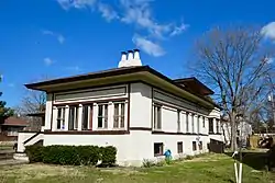 Mrs. Henry F. Akin House |
May 22, 1992 (#92000487) |
901 S. 8th Ave. 41°52′46″N 87°50′31″W |
Maywood | |
| 2 | American State Bank | 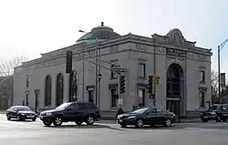 American State Bank |
October 5, 2000 (#00000951) |
6801 W. Cermak Rd. 41°51′01″N 87°47′37″W |
Berwyn | |
| 3 | Arcade Building | 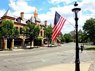 Arcade Building |
March 8, 2016 (#16000055) |
1 Riverside Rd. 41°49′38″N 87°49′10″W |
Riverside | |
| 4 | Baha'i Temple | 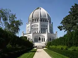 Baha'i Temple |
May 23, 1978 (#78001140) |
100 Linden Ave. 42°04′27″N 87°41′03″W |
Wilmette | |
| 5 | Bailey–Michelet House | 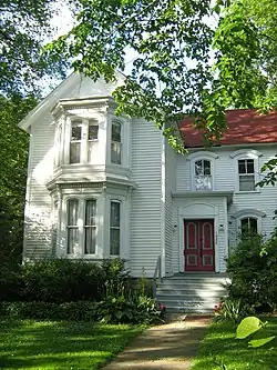 Bailey–Michelet House |
August 12, 1982 (#82002533) |
1028 Sheridan Rd. 42°04′52″N 87°41′40″W |
Wilmette | |
| 6 | Frank J. Baker House | 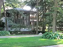 Frank J. Baker House |
November 8, 1974 (#74000759) |
507 Lake Ave. 42°04′42″N 87°41′40″W |
Wilmette | |
| 7 | Hiram Baldwin House | 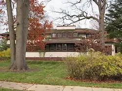 Hiram Baldwin House |
July 28, 1983 (#83000307) |
205 Essex Rd. 42°05′12″N 87°42′34″W |
Kenilworth | |
| 8 | Nathaniel Moore Banta House | _01.JPG.webp) Nathaniel Moore Banta House |
May 20, 1998 (#98000465) |
514 N. Vail Ave. 42°05′17″N 87°59′04″W |
Arlington Heights | |
| 9 | Baptist Retirement Home |  Baptist Retirement Home |
October 26, 2017 (#100001765) |
316 Randolph St. 41°53′04″N 87°50′14″W |
Maywood | |
| 10 | Barrington Historic District | 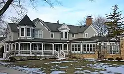 Barrington Historic District |
May 16, 1986 (#86001047) |
Roughly bounded by Chicago & Northwestern RR, S. Spring and Grove Sts., E. Hillside and W. Coolidge, and Dundee Aves. 42°09′02″N 88°08′13″W |
Barrington | |
| 11 | Alfred Bersbach House | 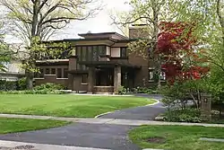 Alfred Bersbach House |
September 17, 2003 (#03000941) |
1120 Michigan Ave. 42°04′59″N 87°41′41″W |
Wilmette | |
| 12 | Berwyn Health Center | 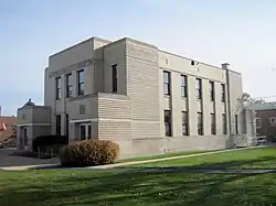 Berwyn Health Center |
November 21, 2002 (#02001352) |
6600 W. 26th St. 41°50′36″N 87°47′17″W |
Berwyn | |
| 13 | Berwyn Municipal Building | 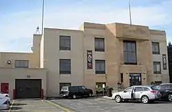 Berwyn Municipal Building |
August 8, 2001 (#01000865) |
6700 W. 26th St. 41°50′35″N 87°47′28″W |
Berwyn | |
| 14 | Bloom Township High School | 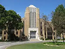 Bloom Township High School |
June 3, 1982 (#82002527) |
10th St. & Dixie Hwy 41°30′52″N 87°38′37″W |
Chicago Heights | |
| 15 | Jacob Bohlander House | 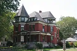 Jacob Bohlander House |
August 21, 1989 (#89001113) |
316 N. 4th Ave. 41°53′27″N 87°50′18″W |
Maywood | |
| 16 | Edmund D. Brigham House | 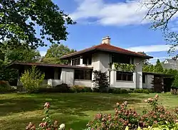 Edmund D. Brigham House |
December 27, 2016 (#16000900) |
790 Sheridan Rd. 42°08′22″N 87°45′18″W |
Glencoe | |
| 17 | Anita Willets Burnham Log House | 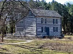 Anita Willets Burnham Log House |
June 2, 2005 (#04001297) |
1140 Willow Rd. 42°06′02″N 87°44′51″W |
Winnetka | |
| 18 | Mr. James Kent Calhoun House | 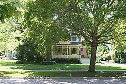 Mr. James Kent Calhoun House |
June 7, 2010 (#09000780) |
740 Greenwood Ave. 42°08′03″N 87°45′45″W |
Glencoe | |
| 19 | Central Berwyn Bungalow Historic District | 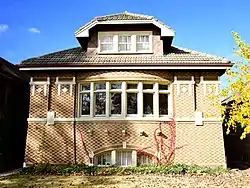 Central Berwyn Bungalow Historic District |
August 18, 2015 (#15000521) |
Roughly bounded by Cermak Rd., Home, Ridgeland & Cuyler Aves., 26th St. 41°50′47″N 87°47′22″W |
Berwyn | |
| 20 | Chicago and Northwestern Depot | 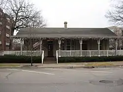 Chicago and Northwestern Depot |
April 24, 1975 (#75000658) |
1135-1141 Wilmette Ave. 42°04′39″N 87°42′20″W |
Wilmette | |
| 21 | Chicago Portage National Historic Site | 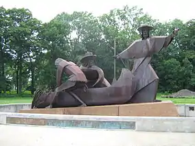 Chicago Portage National Historic Site |
October 15, 1966 (#66000108) |
S. Harlem Ave. at Chicago Sanitary and Ship Canal 41°48′39″N 87°48′28″W |
Forest View | |
| 22 | Chicago Sanitary and Ship Canal Historic District | 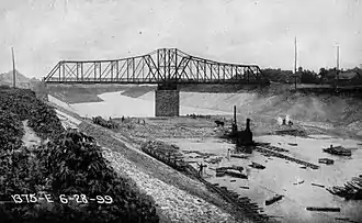 Chicago Sanitary and Ship Canal Historic District |
December 20, 2011 (#11000907) |
Illinois Waterway miles 290.0-321.7 41°50′05″N 87°41′42″W |
Cicero, Stickney, Forest View, Summit, Willow Springs, Lemont | part of the Illinois Waterway Navigation System Facilities MPS; extends through the West Side of Chicago, DuPage County and Will County to Lockport |
| 23 | George Clayson House | _01.JPG.webp) George Clayson House |
March 21, 1979 (#79000835) |
224 E. Palatine Rd. 42°06′39″N 88°02′18″W |
Palatine | |
| 24 | Richard Cluever House |  Richard Cluever House |
November 17, 1977 (#77000482) |
601 N. 1st Ave. 41°53′35″N 87°50′01″W |
Maywood | |
| 25 | Community House |  Community House |
August 30, 2007 (#07000854) |
620 Lincoln Ave. 42°06′29″N 87°44′00″W |
Winnetka | |
| 26 | Avery Coonley House | .jpg.webp) Avery Coonley House |
December 30, 1970 (#70000243) |
290 and 300 Scottswood Rd., 281 Bloomingbank Rd., and 336 Coonley St. 41°49′14″N 87°49′43″W |
Riverside | |
| 27 | Crow Island School | 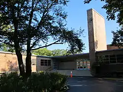 Crow Island School |
October 27, 1989 (#89001730) |
1112 Willow Rd. 42°06′01″N 87°44′47″W |
Winnetka | |
| 28 | Dempster Street Station | 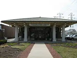 Dempster Street Station |
February 28, 1996 (#95001005) |
5001 W. Dempster St. 42°02′25″N 87°45′08″W |
Skokie | |
| 29 | Des Plaines Methodist Camp Ground |  Des Plaines Methodist Camp Ground |
May 22, 2005 (#05000429) |
1250 Campground Rd. 42°02′00″N 87°53′21″W |
Des Plaines | |
| 30 | Herbert A. Dilg House |  Herbert A. Dilg House |
September 30, 2009 (#09000781) |
8544 Callie Ave. 42°02′13″N 87°47′02″W |
Morton Grove | |
| 31 | Dohrmann-Buckman House |  Dohrmann-Buckman House |
January 24, 1995 (#94001598) |
8455 W. Grand Ave. 41°55′45″N 87°50′16″W |
River Grove | Misspelled as Dorhmann-Buckman House on the National Register |
| 32 | Robert and Suzanne Drucker House |  Robert and Suzanne Drucker House |
September 18, 2013 (#13000715) |
2801 Iroquois Rd. 42°04′54″N 87°44′41″W |
Wilmette | |
| 33 | William E. Drummond House |  William E. Drummond House |
March 5, 1970 (#70000241) |
559 Edgewood Pl. 41°53′23″N 87°49′38″W |
River Forest | |
| 34 | Arthur J. Dunham House |  Arthur J. Dunham House |
February 11, 1982 (#82002524) |
3131 S. Wisconsin Ave. 41°50′06″N 87°48′01″W |
Berwyn | |
| 35 | Edward Hines, Jr., Veterans Administration Hospital Historic District |  Edward Hines, Jr., Veterans Administration Hospital Historic District |
October 9, 2013 (#13000814) |
5000 S. 5th Ave. 41°51′40″N 87°50′29″W |
Hines | United States Second Generation Veterans Hospitals MPS |
| 36 | Emmanuel Episcopal Church | .jpg.webp) Emmanuel Episcopal Church |
December 28, 2017 (#100001922) |
203 S. Kensington Ave. 41°48′37″N 87°52′28″W |
La Grange | |
| 37 | First Congregational Church, Des Plaines | .jpg.webp) First Congregational Church, Des Plaines |
August 27, 2019 (#100004310) |
766 Graceland Ave. 42°02′21″N 87°53′30″W |
Des Plaines | |
| 38 | First Congregational Church of Western Springs |  First Congregational Church of Western Springs |
August 8, 2006 (#06000673) |
1106 Chestnut St. 41°48′53″N 87°54′11″W |
Western Springs | |
| 39 | Flat Iron Building | 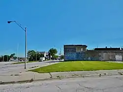 Flat Iron Building |
September 13, 2003 (#03000917) |
1441-1449 Emerald Ave. 41°30′16″N 87°38′05″W |
Chicago Heights | Demolished in 2009.[4] |
| 40 | Ford Airport Hangar | 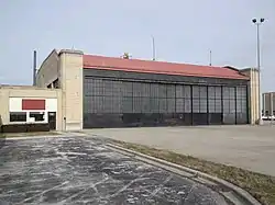 Ford Airport Hangar |
May 9, 1985 (#85001009) |
Glenwood-Lansing Rd. and Burnham Ave. 41°32′32″N 87°32′18″W |
Lansing | |
| 41 | William Frangenheim House | 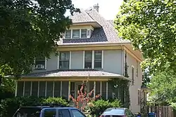 William Frangenheim House |
May 22, 1992 (#92000488) |
410 N. 3rd Ave. 41°53′29″N 87°50′14″W |
Maywood | |
| 42 | Mrs. Thomas H. Gale House | 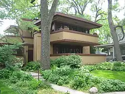 Mrs. Thomas H. Gale House |
March 5, 1970 (#70000239) |
6 Elizabeth Ct. 41°53′31″N 87°47′54″W |
Oak Park | |
| 43 | Walter Gale House | 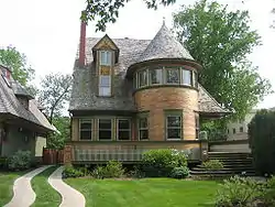 Walter Gale House |
August 17, 1973 (#73000700) |
1031 W. Chicago Ave. 41°53′38″N 87°48′07″W |
Oak Park | |
| 44 | William and Caroline Gibbs House | 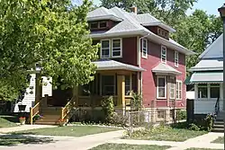 William and Caroline Gibbs House |
February 24, 1992 (#92000048) |
515 N. 3rd Ave. 41°53′32″N 87°50′12″W |
Maywood | |
| 45 | William A. Glasner House | 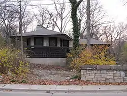 William A. Glasner House |
February 28, 2005 (#05000105) |
850 Sheridan Rd. 42°08′29″N 87°45′19″W |
Glencoe | |
| 46 | Dr. Paul W. and Eunice Greeley House | 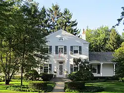 Dr. Paul W. and Eunice Greeley House |
February 25, 2011 (#11000048) |
545 Oak St. 42°06′17″N 87°43′31″W |
Winnetka | |
| 47 | Gross Point Village Hall | .jpg.webp) Gross Point Village Hall |
August 5, 1991 (#91001001) |
609 Ridge Rd. 42°04′33″N 87°43′22″W |
Wilmette | Home of the Wilmette Historical Museum Gross Point Village Hall |
| 48 | Grossdale Station |  Grossdale Station |
June 15, 1982 (#82004912) |
8820½ Brookfield Ave. 41°49′23″N 87°50′33″W |
Brookfield | |
| 49 | Caroline Grow House |  Caroline Grow House |
May 22, 1992 (#92000489) |
603 N. 6th Ave. 41°53′34″N 87°50′25″W |
Maywood | |
| 50 | Gunderson Historic District |  Gunderson Historic District |
March 1, 2002 (#02000100) |
Oldest section, 1000 and 1100 South Home and Wenonah avenues. Later section bounded by Madison St, Harrison, Gunderson, and Ridgeland Aves. 41°52′34″N 87°47′08″W |
Oak Park | The first homes of steel-beamed construction and some of the first tract homes in the U.S., many historical occupants. |
| 51 | Hangar 1, Naval Air Station-Glenview |  Hangar 1, Naval Air Station-Glenview |
November 12, 1998 (#98001357) |
1901 Fourth St. 42°05′26″N 87°49′26″W |
Glenview | |
| 52 | Harrer Building |  Harrer Building |
February 17, 1983 (#83000310) |
8051 N. Lincoln Ave. 42°01′39″N 87°45′14″W |
Skokie | |
| 53 | William H. Hatch House |  William H. Hatch House |
September 5, 2007 (#07000898) |
309 Keystone Ave. 41°53′12″N 87°49′05″W |
River Forest | |
| 54 | Haymarket Martyrs' Monument |  Haymarket Martyrs' Monument |
February 18, 1997 (#97000343) |
863 S. Des Plaines Ave. 41°52′12″N 87°49′20″W |
Forest Park | |
| 55 | Arthur Heurtley House |  Arthur Heurtley House |
February 16, 2000 (#00000258) |
318 N. Forest Avenue 41°53′35″N 87°48′01″W |
Oak Park | |
| 56 | Dr. Robert Hohf House | 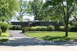 Dr. Robert Hohf House |
December 12, 2008 (#08001166) |
303 Sheridan Rd. 42°05′31″N 87°42′25″W |
Kenilworth | |
| 57 | Hofmann Tower | 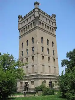 Hofmann Tower |
December 22, 1978 (#78001139) |
3910 Barry Point Rd. 41°49′14″N 87°49′19″W |
Lyons | |
| 58 | John Humphrey House | 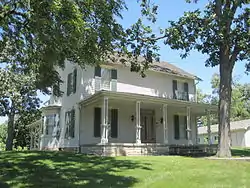 John Humphrey House |
August 1, 2005 (#05000114) |
9830 W. 144th Pl. 41°37′48″N 87°51′34″W |
Orland Park | |
| 59 | Illinois Industrial School for Girls | 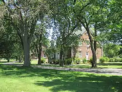 Illinois Industrial School for Girls |
August 6, 1998 (#98000978) |
733 N. Prospect Ave. 42°01′18″N 87°49′40″W |
Park Ridge | Renamed The Youth Campus; closed 2012; became Prospect Park |
| 60 | Kenilworth Club |  Kenilworth Club |
March 21, 1979 (#79000832) |
410 Kenilworth Ave. 42°05′11″N 87°42′57″W |
Kenilworth | |
| 61 | Kennicott's Grove | .jpg.webp) Kennicott's Grove |
August 13, 1973 (#73000698) |
Milwaukee and Lake Aves. 42°04′53″N 87°51′30″W |
Glenview | |
| 62 | Louis B. Kuppenheimer Jr. House | December 4, 2017 (#98000980) |
789 Burr Ave.[5] 42°06′46″N 87°44′42″W |
Winnetka | Designed by David Adler[6] | |
| 63 | La Grange Village Historic District |  La Grange Village Historic District |
August 8, 1979 (#79000834) |
U.S. 12 41°48′37″N 87°52′22″W |
La Grange | |
| 64 | Mads C. Larson House |  Mads C. Larson House |
May 22, 1992 (#92000490) |
318 S. 1st Ave. 41°53′05″N 87°50′05″W |
Maywood | |
| 65 | The Leaning Tower of Niles | 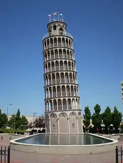 The Leaning Tower of Niles |
April 17, 2019 (#100003645) |
6280 W. Touhy Ave. 42°00′45″N 87°47′02″W |
Niles | |
| 66 | Lemont Central Grade School |  Lemont Central Grade School |
March 7, 1975 (#75000656) |
410 McCarthy Rd. 41°40′21″N 87°59′50″W |
Lemont | |
| 67 | Lemont Downtown Historic District |  Lemont Downtown Historic District |
September 6, 2016 (#16000582) |
Roughly bounded by Main, Stephen, Illinois, River and Front Sts. 41°40′28″N 88°00′01″W |
Lemont | |
| 68 | Lemont Methodist Episcopal Church |  Lemont Methodist Episcopal Church |
May 5, 1986 (#86001031) |
306 Lemont St. 41°40′23″N 88°00′00″W |
Lemont | |
| 69 | Linden Avenue Terminal |  Linden Avenue Terminal |
February 8, 1984 (#84001002) |
330 Linden Ave. 42°04′25″N 87°41′30″W |
Wilmette | |
| 70 | Henry Demarest Lloyd House |  Henry Demarest Lloyd House |
November 13, 1966 (#66000320) |
830 Sheridan Rd. 42°06′51″N 87°43′56″W |
Winnetka | NHL name is The Wayside |
| 71 | Timothy J. Lynch House |  Timothy J. Lynch House |
February 24, 1992 (#92000047) |
416 N. 4th Ave. 41°53′29″N 87°50′18″W |
Maywood | |
| 72 | Lyons Township Hall |  Lyons Township Hall |
November 30, 1978 (#78001138) |
53 S. LaGrange Rd. 41°48′50″N 87°52′09″W |
La Grange | Known as the LaGrange Village Hall |
| 73 | George W. Maher House |  George W. Maher House |
March 21, 1979 (#79000833) |
424 Warwick Rd. 42°05′24″N 87°42′47″W |
Kenilworth | |
| 74 | Marshall Field and Company Store | 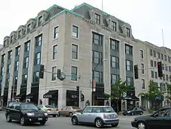 Marshall Field and Company Store |
January 21, 1988 (#87002510) |
1144 W. Lake St. 41°53′21″N 87°48′16″W |
Oak Park | |
| 75 | Masonic Temple Building | 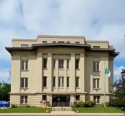 Masonic Temple Building |
May 22, 1992 (#92000491) |
200 S. 5th Ave. 41°53′09″N 87°50′22″W |
Maywood | |
| 76 | Masonic Temple Building |  Masonic Temple Building |
February 11, 1982 (#82002532) |
119-137 N. Oak Park Ave. 41°53′17″N 87°47′41″W |
Oak Park | |
| 77 | Lola Maverick Lloyd House | 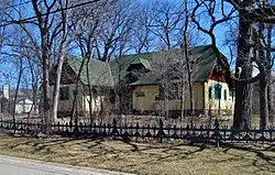 Lola Maverick Lloyd House |
February 1, 2006 (#05001606) |
455 Birch St. 42°06′21″N 87°44′12″W |
Winnetka | |
| 78 | Maywood Fire Department Building | 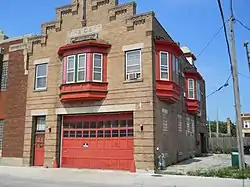 Maywood Fire Department Building |
May 22, 1992 (#92000492) |
511 St. Charles Rd. 41°53′17″N 87°50′24″W |
Maywood | |
| 79 | William McJunkin House | 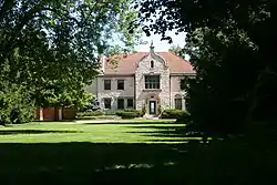 William McJunkin House |
March 2, 2006 (#06000104) |
151 Sheridan Rd. 42°05′44″N 87°42′43″W |
Winnetka | |
| 80 | Caroline Millward House | 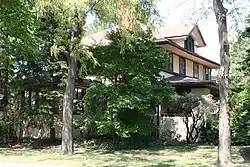 Caroline Millward House |
May 22, 1992 (#92000493) |
502 N. 5th Ave. 41°53′31″N 87°50′22″W |
Maywood | |
| 81 | John Rogerson Montgomery House | 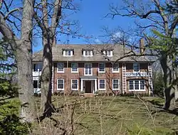 John Rogerson Montgomery House |
September 15, 2004 (#04000974) |
15 Old Green Bay Rd. 42°07′20″N 87°44′32″W |
Glencoe | |
| 82 | J. Sterling Morton High School East Auditorium | 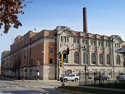 J. Sterling Morton High School East Auditorium |
May 9, 1983 (#83000312) |
2423 S. Austin Blvd. 41°50′47″N 87°46′23″W |
Cicero | |
| 83 | Muller House | _01.JPG.webp) Muller House |
March 26, 1979 (#79000819) |
500 N. Vail Ave. 42°05′15″N 87°59′04″W |
Arlington Heights | |
| 84 | Harry H. Nichols House | 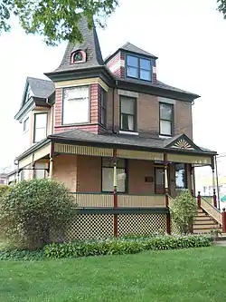 Harry H. Nichols House |
February 24, 1992 (#92000045) |
216 S. 4th Ave. 41°53′08″N 87°50′17″W |
Maywood | |
| 85 | Mr. J. William de Coursey O'Grady House | 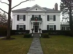 Mr. J. William de Coursey O'Grady House |
December 12, 2008 (#08001167) |
149 Kenilworth Ave. 42°05′29″N 87°42′43″W |
Kenilworth | |
| 86 | Oak Circle Historic District | 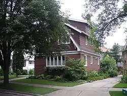 Oak Circle Historic District |
June 21, 2001 (#01000668) |
318-351 Oak Circle 42°04′20″N 87°42′39″W |
Wilmette | |
| 87 | Oak Park Conservatory | 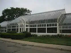 Oak Park Conservatory |
March 8, 2005 (#04001298) |
615 Garfield St. 41°52′18″N 87°47′23″W |
Oak Park | |
| 88 | Oak Park Village Hall | 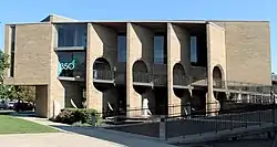 Oak Park Village Hall |
August 25, 2014 (#14000505) |
123 Madison St. 41°52′46″N 87°46′44″W |
Oak Park | |
| 89 | Octagon House | _02.JPG.webp) Octagon House |
March 21, 1979 (#79000820) |
223 W. Main St. 42°09′14″N 88°08′20″W |
Barrington | |
| 90 | Olympia Fields Country Club | 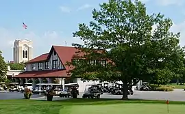 Olympia Fields Country Club |
February 9, 2001 (#01000082) |
2800 Country Club Dr. 41°30′57″N 87°41′06″W |
Olympia Fields | |
| 91 | Orth House | 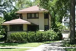 Orth House |
October 8, 1976 (#76000708) |
42 Abbotsford Rd. 42°05′31″N 87°43′10″W |
Winnetka | |
| 92 | Ouilmette North Historic District |  Ouilmette North Historic District |
December 6, 2005 (#05001370) |
46 blocks: Chesnut Ave, Sheridan Road, Lake Ave. and 13th St. 42°04′55″N 87°42′03″W |
Wilmette | Named for Antoine Ouilmette (1760–1841) |
| 93 | Pacesetter Gardens Historic District |  Pacesetter Gardens Historic District |
November 16, 2005 (#05001252) |
13604-13736 S. Lowe Ave. 41°38′48″N 87°38′14″W |
Riverdale | |
| 94 | Charles H. Patten House | _02.JPG.webp) Charles H. Patten House |
November 8, 2006 (#06001018) |
117 N. Benton St. 42°06′45″N 88°02′28″W |
Palatine | |
| 95 | Pickwick Theater Building | 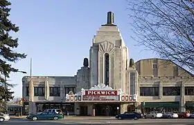 Pickwick Theater Building |
February 24, 1975 (#75000657) |
5 S. Prospect Ave. 42°00′38″N 87°49′45″W |
Park Ridge | |
| 96 | Pleasant Home |  Pleasant Home |
June 19, 1972 (#72000454) |
217 Home Ave. 41°53′08″N 87°48′00″W |
Oak Park | NHL name is John Farson House |
| 97 | George E. Purple House |  George E. Purple House |
August 12, 2005 (#05000845) |
338 Sunset Ave. 41°48′36″N 87°53′02″W |
LaGrange | |
| 98 | Charles N. Ramsey and Herry E. Weese House | 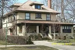 Charles N. Ramsey and Herry E. Weese House |
April 1, 2009 (#09000167) |
141 Kenilworth Avenue 42°05′30″N 87°42′39″W |
Kenilworth | |
| 99 | Ridgeland-Oak Park Historic District |  Ridgeland-Oak Park Historic District |
December 8, 1983 (#83003564) |
Roughly bounded by Austin Blvd., Harlem, Ridgeland, and Chicago Aves., Lake and Madison Sts. 41°53′07″N 87°47′18″W |
Oak Park | |
| 100 | River Forest Historic District | 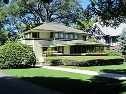 River Forest Historic District |
August 26, 1977 (#77000483) |
Between Harlem Ave. and Des Plaines River with 2 extensions N of Chicago Ave. and 2 extensions S of Lake St. 41°53′31″N 87°49′09″W |
River Forest | |
| 101 | Riverside Landscape Architecture District |  Riverside Landscape Architecture District |
September 15, 1969 (#69000055) |
Bounded by 26th St., Harlem and Ogden Aves., the Des Plaines River, and Forbes Rd. 41°49′39″N 87°49′15″W |
Riverside | NHL name is Riverside Historic District |
| 102 | John Robertson, Jr., House | 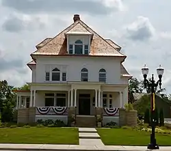 John Robertson, Jr., House |
December 22, 2014 (#14001064) |
145 W. Main St. 42°09′14″N 88°08′17″W |
Barrington | |
| 103 | Robinson House | 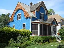 Robinson House |
February 24, 1992 (#92000046) |
602 N. 3rd Ave. 41°53′35″N 87°50′14″W |
Maywood | |
| 104 | Root-Badger House | 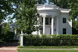 Root-Badger House |
May 19, 1992 (#92000550) |
326 Essex Rd.[7] 42°05′18″N 87°42′46″W |
Kenilworth | |
| 105 | St. James Catholic Church and Cemetery | 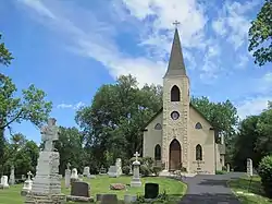 St. James Catholic Church and Cemetery |
August 16, 1984 (#84001047) |
106th St. and Archer Ave. 41°41′55″N 87°55′57″W |
Lemont | |
| 106 | Paul Schweikher House and Studio | 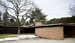 Paul Schweikher House and Studio |
February 17, 1987 (#87000098) |
645 S. Meacham Rd. 42°00′51″N 88°02′36″W |
Schaumburg | |
| 107 | Scoville Park |  Scoville Park |
November 21, 2002 (#02001351) |
Jct. of Lake St. and Oak Park Ave. 41°53′23″N 87°47′42″W |
Oak Park | |
| 108 | Mr. Robert Silhan House |  Mr. Robert Silhan House |
February 20, 2007 (#07000062) |
3728 S. Cuyler Ave. 41°49′28″N 87°46′53″W |
Berwyn | |
| 109 | Albert Soffel House |  Albert Soffel House |
May 22, 1992 (#92000494) |
508 N. 5th Ave. 41°53′32″N 87°50′23″W |
Maywood | |
| 110 | Jesse L. Strauss Estate |  Jesse L. Strauss Estate |
December 22, 2014 (#14001065) |
110 Maple Hill Rd. 42°08′33″N 87°45′19″W |
Glencoe | |
| 111 | Joseph P. O. Sullivan House |  Joseph P. O. Sullivan House |
May 22, 1992 (#92000495) |
142 S. 17th Ave. 41°53′10″N 87°51′15″W |
Maywood | |
| 112 | Sunderlage Farm Smokehouse | _02.JPG.webp) Sunderlage Farm Smokehouse |
February 20, 1990 (#89001210) |
1775 Vista Walk 42°03′05″N 88°07′24″W |
Hoffman Estates | |
| 113 | Sylvan Road Bridge | .jpg.webp) Sylvan Road Bridge |
June 23, 1978 (#78001137) |
Sylvan Rd. 42°08′40″N 87°45′48″W |
Glencoe | Demolished.[8] |
| 114 | Frank Thomas House |  Frank Thomas House |
September 14, 1972 (#72000455) |
210 Forest Ave. 41°53′28″N 87°47′48″W |
Oak Park | |
| 115 | Jennie S. Thompkins House |  Jennie S. Thompkins House |
May 22, 1992 (#92000496) |
503 N. 4th Ave. 41°53′28″N 87°50′23″W |
Maywood | |
| 116 | George R. Thorne House |  George R. Thorne House |
May 2, 1997 (#97000381) |
7 Cottage Row 41°37′58″N 87°45′03″W |
Midlothian | |
| 117 | F.F. Tomek House | 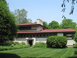 F.F. Tomek House |
January 20, 1999 (#99000632) |
150 Nuttall Road 41°49′56″N 87°49′02″W |
Riverside | |
| 118 | Twin Tower Sanctuary | 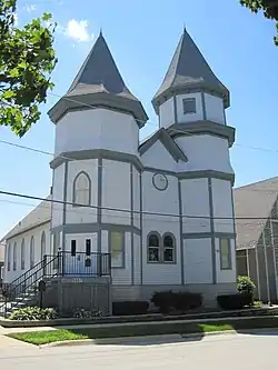 Twin Tower Sanctuary |
November 16, 1988 (#88002235) |
9967 W. 144th St. 41°37′43″N 87°51′46″W |
Orland Park | |
| 119 | Unity Temple |  Unity Temple |
April 17, 1970 (#70000240) |
875 Lake St. 41°53′18″N 87°47′48″W |
Oak Park | |
| 120 | Robert Vial House | .jpg.webp) Robert Vial House |
August 31, 2007 (#07000853) |
7425 S. Wolf Rd. 41°45′17″N 87°53′45″W |
Burr Ridge | |
| 121 | Karl Vogt Building | 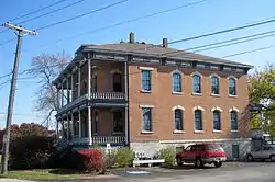 Karl Vogt Building |
January 21, 1988 (#87002499) |
6811 Hickory St. 41°34′29″N 87°47′04″W |
Tinley Park | |
| 122 | Western Springs Water Tower | 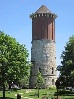 Western Springs Water Tower |
June 4, 1981 (#81000219) |
914 Hillgrove Ave. 41°48′35″N 87°54′03″W |
Western Springs | |
| 123 | Wheeler-Magnus Round Barn | _01.JPG.webp) Wheeler-Magnus Round Barn |
August 18, 1992 (#92001017) |
811 E. Central Rd. 42°03′53″N 87°58′19″W |
Arlington Heights | |
| 124 | Wild Flower and Bird Sanctuary in Mahoney Park |  Wild Flower and Bird Sanctuary in Mahoney Park |
April 10, 1985 (#85000772) |
Sheridan Rd. & 10th Street 42°05′21″N 87°42′12″W |
Kenilworth | |
| 125 | William H. Winslow House and Stable | 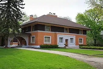 William H. Winslow House and Stable |
April 17, 1970 (#70000242) |
515 Auvergne Pl. 41°53′19″N 87°49′44″W |
River Forest | |
| 126 | Frank Lloyd Wright House and Studio | 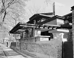 Frank Lloyd Wright House and Studio |
September 14, 1972 (#72000456) |
428 Forest Ave. (house), 951 Chicago Ave. (studio) 41°53′39″N 87°48′00″W |
Oak Park | |
| 127 | Frank Lloyd Wright-Prairie School of Architecture Historic District | 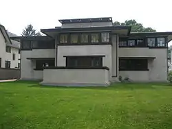 Frank Lloyd Wright-Prairie School of Architecture Historic District |
December 4, 1973 (#73000699) |
Bounded roughly by Harlem Ave., Division, Clyde, and Lake Sts.; also roughly bounded by Division St. on the north, Cuyler Ave. on the east, Lake St. on the south, and Harlem Ave. on the west 41°53′37″N 87°47′32″W |
Oak Park | Second set of boundaries represents a boundary increase of May 22, 2009 |
| 128 | Joshua P. Young House | 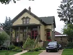 Joshua P. Young House |
August 12, 1982 (#82002525) |
2445 High St. 41°39′09″N 87°40′30″W |
Blue Island | built c. 1854, home of influential mid-nineteenth century developer of Chicago's south side and southern suburbs. |
Former listing
| [2] | Name on the Register | Image | Date listed | Date removed | Location | City or town | Summary |
|---|---|---|---|---|---|---|---|
| 1 | Hyatt House Hotel | 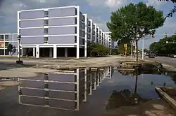 Hyatt House Hotel |
July 31, 2013 (#13000553) | January 2, 2020 | 4500 West Touhy Avenue 42°00′44″N 87°44′30″W |
Lincolnwood | Demolished on August 27, 2013.[9] |
| 2 | Oak Lawn (Cook) School | 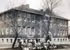 Oak Lawn (Cook) School |
November 2, 1990 (#90001725) | January 6, 2020 | 9526 S. Cook Ave. 41°43′08″N 87°45′07″W |
Oak Lawn | Demolished in 2003.[10] |
| 3 | Washington School | August 15, 1997 (#97000864) | March 14, 2002 | 7970 Washington Boulevard |
River Forest |
Key
| NRHP-listed | |
| ∞ | NRHP-listed Historic district |
| * | National Historic Landmark and NRHP-listed |
| ∞ | National Historic Landmark and NRHP-listed Historic district |
See also
| Wikimedia Commons has media related to National Register of Historic Places in Cook County, Illinois. |
References
- "National Register of Historic Places: Weekly List Actions". National Park Service, United States Department of the Interior. Retrieved on February 5, 2021.
- Numbers represent an alphabetical ordering by significant words. Various colorings, defined here, differentiate National Historic Landmarks and historic districts from other NRHP buildings, structures, sites or objects.
- The eight-digit number below each date is the number assigned to each location in the National Register Information System database, which can be viewed by clicking the number.
- James W. Wright. The Dixie Highway in Illinois. Arcadia, 2009. 50.
- Spula, Ian (June 25, 2014). "Architect David Adler's Only Winnetka Work Will Be on the Market at $1.599 Million". Chicago magazine.
Bank-owned, landmarked, and half-restored, the 6,650-square-foot Georgian from 1937 needs a buyer to finish the job.
- Salny, Stephen M. (2001). The Country Houses of David Adler. W. W. Norton. p. 201. ISBN 9780393730456.
- Spindell, Robert E., and Ethel G. Spindell. National Register of Historic Places Inventory/Nomination: Root-Badger House. National Park Service, 1992-01-12, 1.
- http://gis.hpa.state.il.us/hargis/ Search by National Register, City: Glencoe
- http://www.suntimes.com/news/metro/22192357-418/wrecking-ball-tears-through-iconic-purple-hotel.html
- http://www.lib.oak-lawn.il.us/MINUTES/pd030210.pdf
External links
- NPS Focus database, National Park Service.
| Topics | |
|---|---|
| Lists by state |
|
| Lists by insular areas | |
| Lists by associated state | |
| Other areas | |
| Related | |
| |
This article is issued from Wikipedia. The text is licensed under Creative Commons - Attribution - Sharealike. Additional terms may apply for the media files.