Woolomin, New South Wales
Woolomin is a small settlement on the bank of the Peel River, about 20 km north of Nundle, New South Wales, Australia and about 40 km south east of the city of Tamworth. It is on the Fossickers Way near Chaffey Dam. At the 2006 census, Woolomin had a population of 469.[1]
| Woolomin New South Wales | |
|---|---|
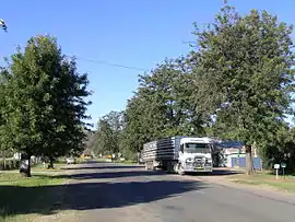 The main street | |
Woolomin | |
| Coordinates | 31°18′S 151°09′E |
| Population | 469 (2006 census)[1] |
| Postcode(s) | 2340 |
| Location | 20 km (12 mi) N of Nundle |
| LGA(s) | Tamworth Regional Council |
| State electorate(s) | Tamworth |
| Federal Division(s) | New England |
On 20 November 2000 approximately 50 homes were evacuated as the Peel River burst its banks.[2]
The village has a public school and agriculture is the major industry for the region.
References
- Australian Bureau of Statistics (25 October 2007). "Woolomin (State Suburb)". 2006 Census QuickStats. Retrieved 8 March 2010.
- World weather news Retrieved 2010-8-28
This article is issued from Wikipedia. The text is licensed under Creative Commons - Attribution - Sharealike. Additional terms may apply for the media files.