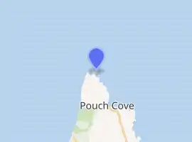
Cape St. Francis (Newfoundland and Labrador)
The Headland of Cape St. Francis is outer extremity marking the boundary of Conception Bay on the Avalon Peninsula of the island of Newfoundland in the Canadian province of Newfoundland and Labrador.
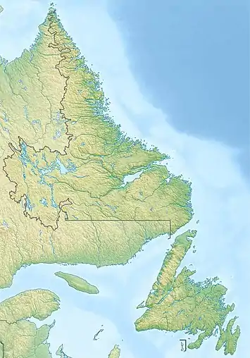 Location of Cape St. Francis in Newfoundland | |
| |
| Location | Cape St. Francis Avalon Peninsula Newfoundland Canada |
|---|---|
| Coordinates | 47°48′31.6″N 52°47′12.1″W |
| Year first constructed | 1877 (first) |
| Year first lit | 1957 (current) |
| Construction | concrete building |
| Tower shape | lantern atop a 1-storey fog signal building |
| Markings / pattern | white building with a broad vertical stripe |
| Tower height | 3.3 metres (11 ft) building height |
| Focal height | 29 metres (95 ft) |
| Range | 15 nautical miles (28 km; 17 mi) |
| Characteristic | Fl W 5s. |
| Fog signal | 1 blast every 30s. |
| Admiralty number | H0468 |
| CHS number | CCG 499 |
| NGA number | 1844 |
| ARLHS number | CAN-835 |
| Managing agent | Canadian Coast Guard[1][2] |
See also
References
- Southeastern Newfoundland The Lighthouse Directory. University of North Carolina at Chapel Hill. Retrieved 7 February 2017
- List of Lights, Pub. 110: Greenland, The East Coasts of North and South America (Excluding Continental U.S.A. Except the East Coast of Florida) and the West Indies (PDF). List of Lights. United States National Geospatial-Intelligence Agency. 2016.
External links
- Aids to Navigation Canadian Coast Guard
This article is issued from Wikipedia. The text is licensed under Creative Commons - Attribution - Sharealike. Additional terms may apply for the media files.