Kohistan District, Kapisa
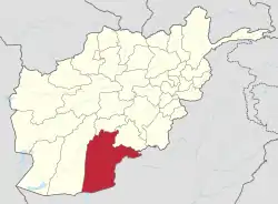
Kohistan, also transliterated Kuhistan, Kuhiston (Persian: کوہستان 'mountainous land'), is the northern district of Kapisa province, Afghanistan. In productive agricultural seasons the area has an abundance of sweet mulberries, grapes, apricots and pomegranates. Yearly thousands of visitors spend their weekends in its picnic place of Sayaad along the Panjshir river that flows into Sourubi lake. The population was 100,200 (2006), mainly Persian-speaking Tājik people.
Kohistan | |
|---|---|
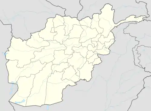
 Kohistan Location in Afghanistan | |
| Coordinates: 35°7′N 69°18′E | |
| Country | |
| Province | Kapisa Province |
| District | Kohistan Hesa Awal District |
| Elevation | 5,033 ft (1,534 m) |
| Time zone | UTC+4:30 |
History
The Kohistani Tajiks proved to be the most powerful and best organized groups that fought against the British occupation of Kabul in 1879 to 1880 in the Second Anglo-Afghan War.[1] During the war against USSR, Kohistan was one of the strongholds and headquarters for the Mujaheddin and later on it was one of the last remaining areas that was not in control of the Taliban. The district was the front line against the Taliban, the people in district fought very hard and bravely to counter the attacks of the Taliban many times; and in one particular case the people of the district were forced to evacuate their homes and villages completely because of a Taliban attack.
In 2005 the district was dissolved and was split into two new districts:
References
- Chisholm, Hugh, ed. (1911). . Encyclopædia Britannica. 15 (11th ed.). Cambridge University Press. p. 886.
