Chama, Colorado
Chama is an unincorporated community and U.S. Post Office in Costilla County, Colorado, United States. The ZIP Code of the Chama Post Office is 81126.[3]
Chama, Colorado | |
|---|---|
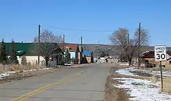 County Road L.7 in Chama. | |
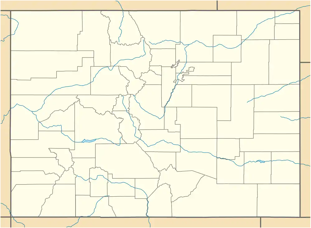 Chama, Colorado Location within the state of Colorado | |
| Coordinates: 37°09′46″N 105°22′30″W | |
| Country | |
| State | |
| Counties | Costilla County[1] |
| Established | 1860[2] |
| Elevation | 8,179 ft (2,493 m) |
| Population | |
| • Total | Approx.63 |
| Time zone | UTC-7 (MST) |
| • Summer (DST) | UTC-6 (MDT) |
| ZIP Code[3] | 81126 |
| Area code(s) | (719) |
History
The town of Chama was established by settlers from Chamita, New Mexico, in 1860.[2] The Chama Post Office opened on May 3, 1907.[4] The Chama school was taken down between the years of 1999 and 2001.
Description
Most of Chama's houses are made of adobe. Many of them are very old. There are also a lot of rocks and "chamiso" sagebrush in Chama. The community lies at the foot of the Culebra Ranch.
Geography
Chama is located at 37°09′46″N 105°22′30″W (37.162916,-105.375023).
See also
- Outline of Colorado
- State of Colorado
- Colorado cities and towns
- Colorado counties
- Old Spanish National Historic Trail
- San Luis Valley
References
- "US Board on Geographic Names". United States Geological Survey. 2007-10-25. Retrieved 2008-01-31.
- Eichler, Geo. R. (1977). Colorado Place Names. 77-089726: Johnson Publishing Company.CS1 maint: location (link)
- "ZIP Code Lookup". United States Postal Service. Archived from the original (JavaScript/HTML) on September 3, 2007. Retrieved September 5, 2007.
- Bauer, William H.; James L. Ozment; John H. Willard (1990). Colorado Post Offices 1859-1989. 90-34759: The Colorado Railroad Museum. ISBN 0-918654-42-4.CS1 maint: location (link)
External links
| Wikimedia Commons has media related to Chama, Colorado. |
Municipalities and communities of Costilla County, Colorado, United States | ||
|---|---|---|
| Towns | 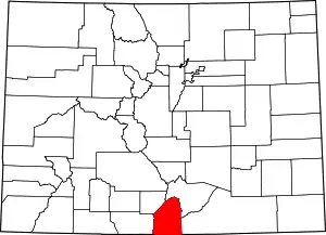 Map of Colorado highlighting Costilla County | |
| CDPs | ||
| Unincorporated communities | ||
| Ghost town | ||
| ||

This article is issued from Wikipedia. The text is licensed under Creative Commons - Attribution - Sharealike. Additional terms may apply for the media files.