Cooper River Historic District
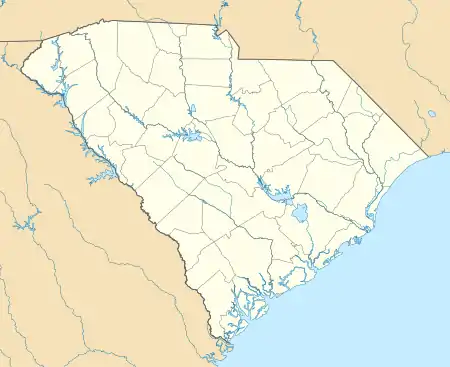
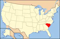
Cooper River Historic District is a national historic district located along the East and West Branches of the Cooper River near Moncks Corner, Berkeley County, South Carolina. It encompasses 32 contributing buildings, 77 contributing sites, 8 contributing structures, and 4 contributing objects and is a remarkably intact historic and cultural landscape. The district includes many historic buildings, structures, and objects from the 18th, 19th, and 20th centuries and archaeological remains of settlements, machines, barns, and other structures that supported agricultural activity. In addition, there are landscape features dating to the 18th and 19th centuries such as rice fields, banks, canals, dams, reservoirs or reserves, causeways, roads, avenues, upland fields, fence lines, and cemeteries.[2][3]
Cooper River Historic District | |
  | |
| Location | Along the East and West Branches of the Cooper River, near Moncks Corner, South Carolina |
|---|---|
| Coordinates | 33°13′52″N 80°02′04″W |
| Area | 30,820 acres (12,470 ha) |
| Architectural style | Colonial, Early Republic |
| MPS | Cooper River MPS |
| NRHP reference No. | 02000571[1] |
| Added to NRHP | February 5, 2003 |
It was listed in the National Register of Historic Places in 2002.[1]
References
- "National Register Information System". National Register of Historic Places. National Park Service. July 9, 2010.
- "Cooper River Historic District, Berkeley County (along the East and West branches of the Cooper River, Moncks Corner vicinity)". National Register Properties in South Carolina. South Carolina Department of Archives and History. Retrieved 25 February 2014. and Accompanying map Archived 2015-09-24 at the Wayback Machine
- Andrew W. Chandler; et al. (December 2002). "Cooper River Historic District" (PDF). National Register of Historic Places nomination. NRHP. Retrieved 25 February 2014.

